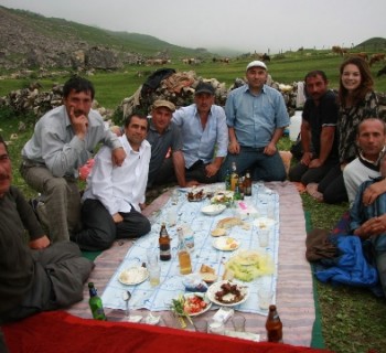
Rivers of Armenia

There are a lot of rivers flowing on the territory of the country. Almost all rivers of Armenia are tributaries of two large waterways of the South Caucasus - Kura and Araks..
Araks river
The Araks is one of the largest rivers in Transcaucasia. The source is located on the territory of the Armenian Highlands (the territory of Turkey), but the mouth and lower reaches of the river are already located in Azerbaijan. The middle reaches of the Aras is a natural border between Armenia and neighboring countries.
The first written mention of the river dates back to the 6th century BC. Later names of the river are Aros, Araz or Aras. Since the channel passes through the territory of several countries, the name of the river, accordingly, changes: in Azerbaijan it is called Araz, in Turkey - Aras.
The Araks is the largest right-sided tributary of the Kura. The total length of the waterway is 1,072 kilometers. The river is not navigable and its waters are used exclusively for irrigation.
Azat river
Geographically, the river belongs to Armenia and is a left tributary of the Araks. The source of the river is the southwestern part of the slope of the Geghama ridge. The total length of the channel is 55 kilometers. The bottom of the river is rocky throughout. Local residents use the waters of the river for irrigation. There is a reservoir in the middle reaches of the Azat.
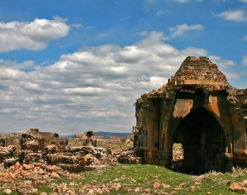
Among the attractions located on the banks of the river, it is worth highlighting: the monastery of Gekard (upper reaches of the river) and the village of Garni (right bank). At the beginning of this century, the river was included in the list of UNESCO protected sites..
Debed river
Geographically, the river channel is located in two countries at once - Armenia and Georgia. 152 kilometers of river flow passes through the territory of Armenia.
Source - confluence of two rivers - Dzoraget and Pambak in the Armenian village of Dsegh.
In the nineteenth century, the river was called Borchala. This name was given to it by the region along which the riverbed runs. During the Middle Ages, the river was called Kasakh.
The river is not navigable. The channel runs along a deep narrow gorge. About 12 kilometers of the river is the natural border between Armenia and Georgia..
Debed is a very fast and deepest (after the Araks) river in the whole country. The water is used for irrigation as well as power generation. Tributaries (the largest): Shnogo and Marz (right-sided); Akhtala (left-hand).
Sightseeing: the cities of Akhtala, Alaverdi; villages Dsekh, Odzun; Sanahin and Haghpat. On the territory of Sanahin there is an ancient bridge dating from the twelfth century.
Kasakh river
The total length of the channel is 89 kilometers, and all of it is located on the territory of Armenia. The source of the river is the foot of Mount Aragats. The mouth is the Sevuzh River. The main attraction of the river is the Kasakh canyon, located in the middle reaches of the river. There are also several ancient monasteries here..