Prague metro: map, photo, description
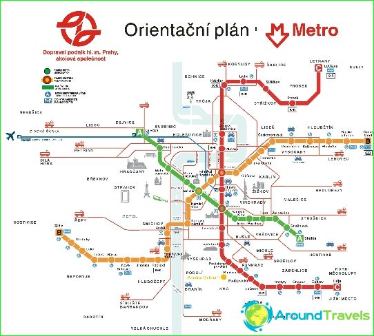
Prague metro map
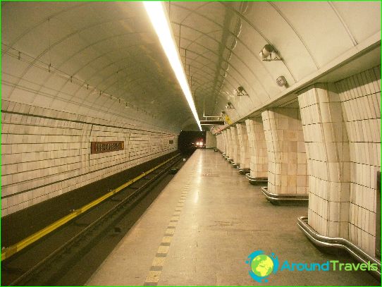
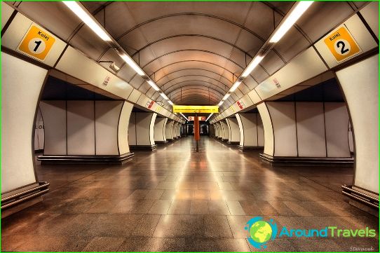
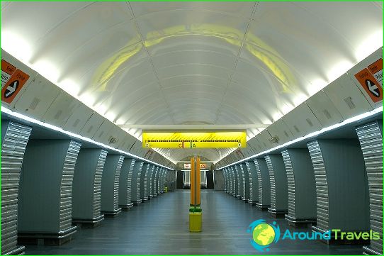
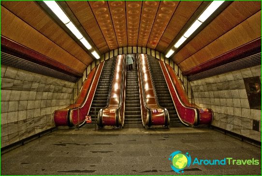
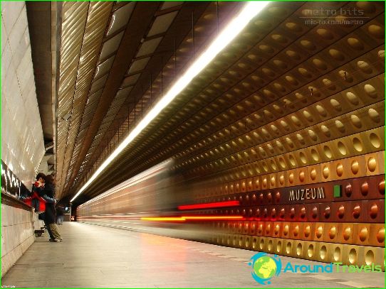
The Prague metro system follows the general Eastern European model with three main lines forming a triangle in the city center, passing through tunnels well below city street level. Most stations on line A and line B are very deep and are usually served by three long escalators. For this reason, due to severe flooding in mid-August 2002, some central metro stations in Prague were closed. Line C tunnels are relatively shallow.
Prague metro lines
The total length of all Prague metro lines is 59.30 km, the number of stations is 57: line A (13 stations, length - 10.99 km), line B (24 stations, 25.70 km), line C (20 stations, 22 , 61 km).
Although the Prague metro system itself is relatively young, the idea of organizing underground transport in Prague dates back to 1898, by the company of Ladislav Rott. Rott suggested that the city council take advantage of the construction of the city sewage system and, in parallel with this work, begin to lay subway tunnels. However, this plan was not accepted. Another proposal came in 1926 from Bohumil Belada and Vladimir Spisok, who first used the term "metro". And although this project was also rejected by the authorities, its discussion served as an impetus for the transition to real solutions to the aggravating transport problem in Prague. In the 1930s - 1940s, intensive projection work was carried out, taking into account two possible solutions: an underground tram and a full-fledged Prague metro with an independent railway system. After World War II, despite the fact that the plan for the construction of three metro lines - A, B and C was thoroughly developed, all work was stopped due to the deplorable economic situation in the country.
In the early 1960s, the concept of an underground tram was adopted, and in 1967 even construction of the first station began. Nevertheless, in the same year, under the influence of Soviet specialists, the concept changed to polar and the government of Czechoslovakia made the final decision to build a true metro system instead of tram lines. Regular passenger service began on the first section of Line C on Victory Day on May 9, 1974 between Sokolovská (now Florenc) and Kačerov stations. Since then, the Prague metro began to develop rapidly.
Prague metro trains
After the last 81-71 class train was decommissioned in July 2009, Line A (35 trains) and Line B (52 trains) operate with the upgraded 81-71m class trains, while Line C is served only by new M1 class trains. (53 trains). The evolution of the metro can be explored at the Prague Transport Museum, which once exhibits mainly old trams and buses, but for some time now offers an excellent overview of the history of the Prague Metro..
Prague metro tickets
To pay for travel in the Prague metro, as with the rest of Prague transport, travel tickets (jízdenka) for a short period of up to 5 days, or longer travel tickets (kupon), designed for a period from a month to a year are used.
Pictures of the Prague metro
-
Prague metro map
-
-
-
-
-
