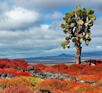
Galapagos Islands
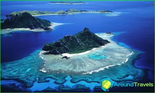
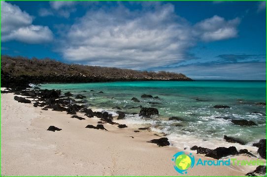
The Galapagos Islands are located in the Pacific Ocean and form an archipelago. In total, there are 13 large volcanic land areas, 107 alluvial territories and rocks, as well as 6 small islands. The first island of this archipelago was formed as a result of tectonic plate activity about 5-10 million years ago. The youngest are the islands of Fernandina and Isabela, which have not yet had time to form completely. The last time a volcanic eruption occurred in 2005.
a brief description of
The Galapagos Islands are the possession of Ecuador and are located 972 km away from it. They are designated as the province of Galapagos. The total area of the islands is 8010 sq. km. The archipelago is home to at least 25,120 people. In past centuries, the Galapagos Islands have changed their name several times. The British called them the Enchanted Isles because of the fast currents that made navigation very difficult. The first navigational scheme for the archipelago was made by the pirate Cowley. The islands were officially discovered in 1535 by Thomas de Berlanga, a priest who was sailing to Peru. The annexation of the Galapagos Islands by Ecuador took place in 1832.
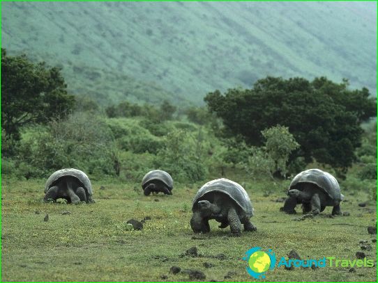
Galapagos attracts tourists with its unusual fauna and flora. There are almost no fresh water sources on the islands. Many of the inhabitants of the archipelago are considered endemic. The largest island is Isabela. It is distinguished by numerous lagoons, where pelicans, flamingos, hawks, frigates and penguins live. In the coastal waters there are killer whales, sharks, etc. The attraction of the island is the picturesque Urbina Bay, where giant turtles, penguins, iguanas are found. Isabela is the location of the highest point of the archipelago - Wolfe Volcano. It is also home to one of the largest craters on the planet. It belongs to the Sierra Negra volcano and has a diameter of about 10 km.
The second largest among the Galapagos Islands is the densely populated land area - Santa Cruz. There is a very large city of Puerto Ayora. It is a tourism center with a well-developed infrastructure. It is extremely interesting for its numerous bays, each of which deserves attention. The list of the largest islands of the archipelago also includes San Salvador, Fernandina, San Cristobal. The administrative center is the port city of Barikeso Moreno.
Weather
The Galapagos Islands are in a hot subequatorial climate, but the weather is cooler there than elsewhere on the equator. The average annual temperature is +23 degrees. The water sometimes has a temperature of about 20 degrees. This coolness is provided by the Peruvian current.
