Mecca metro: diagram, photo, description

Mecca metro map
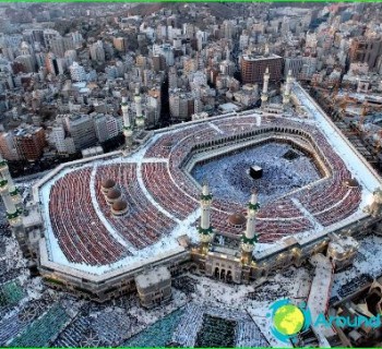
In November 2010, a subway was opened in the holy city of Mecca. It became the first in the country, and its main task is to move pilgrims performing the Hajj to places where ritual ceremonies are performed. These places are located in the valleys of Mina and Muzdalifa and on Mount Arafat..
Modern view of the Mecca metro
Currently, the Mecca metro is one operating line, on which 15 stations are open for the needs of passengers. Its length is just over 18 kilometers. This type of transport provides the ability to transport up to 1.2 million passengers daily. Every hour, the Mecca metro can receive up to 72 thousand people, which makes it possible to replace more than 53 thousand bus routes daily.
The Mecca metro line is ground-based, like its stations. The main passengers of the Mecca metro are pilgrims, and therefore the stations are located close to the direct objects of religious rituals. Mecca's only metro line crosses the city from northwest to southeast, where Mount Arafat is located.
The technical equipment of the Mecca metro was carried out by a Chinese company in the city of Changchun, and some of the systems and units were supplied by Canadian and French companies..
In the Mecca metro, China-made railway type trains are used. They are painted light green and consist of twelve carriages each. The total length of each train is 260 meters, and their speed along the tracks does not exceed 100 kilometers per hour..
Photos of Mecca metro
-

Mecca metro map
-

-