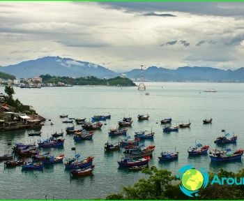
Rivers of Vietnam

The largest rivers in Vietnam are located in the southern and northern parts of the country. And the longest is the Mekong. True, the Vietnamese account for only a small share of the lower reaches, but the entire huge delta is at the complete disposal of the country..
Saigon river
Geographically, the channel is located on the lands of the southern part of the country. The total length of the current is 256 kilometers. The river is the main waterway of the country, since the largest port city of Ho Chi Minh is located on the banks of the river..
Honga river
The river passes through the southern part of China and the northern lands of Vietnam. The total length of the current is 1183 kilometers. The place of confluence is Balat Bay (area of Xuantkhui nature reserve). Part of the current is the natural border between the two provinces of the country - Thaibinh and Nam Dinh. The largest tributaries: the Lo river (left); river Yes (right). The waters of the river are actively used for irrigation. The river is navigable.
River Yes
The river is located on the territory of two countries - China and Vietnam. The total length of the channel is 910 kilometers. Yes is the main tributary of the Hongha River.
The source of the river is the confluence of the two rivers Amojiang and Chusunchuanhe (Babianjiang). The main direction of the current is from northeast to southeast. For the most part, the channel runs along a deep valley. The main tributaries of the river in Vietnam: Po; On the; Mock; Mu; Pan; Shap. There are several hydroelectric power plants on the river.
Mekong river
The river passes through the territory of several countries - China, Laos, Thailand, Cambodia, Vietnam. The total length of the channel is 4500 kilometers.
The source of the Mekong is in the Tibetan Plateau (Tangla Ridge). The river has several names, since each state has its own name. So, in its upper course - this is Dza-Chu, and on the average, which passes through the lands of the Celestial Empire - Lancangjiang.
The confluence is the South China Sea. The river here forms a delta. The main tributaries are: Mun (right); San (left). The upper and middle course of the Mekong runs along the bottom of the gorges, and therefore has many rapids. There are many fish in the river and the main representatives are the carp family.
Ma river
Ma flows through the lands of Vietnam and Laos. The total length of the river channel is 512 kilometers. The source of the river is located in the province of Sonla (mountains of Vietnam). Estuary - waters of Bakbo Bay (South China Sea).
San River
The channel of the San River passes through the territory of Vietnam and Cambodia. San is a left tributary of the Mekong. The source of the river is located in Vietnam - this is the confluence of the Psi and Dakpoko rivers (Kontum province). In total, the San receives the waters of three large rivers - Bla, Grai and Shathai. Approximately twenty kilometers of current takes over the responsibilities of the natural border between Cambodia and Vietnam.