Medellin metro: diagram, photo, description
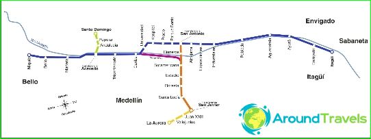
Medellin metro map
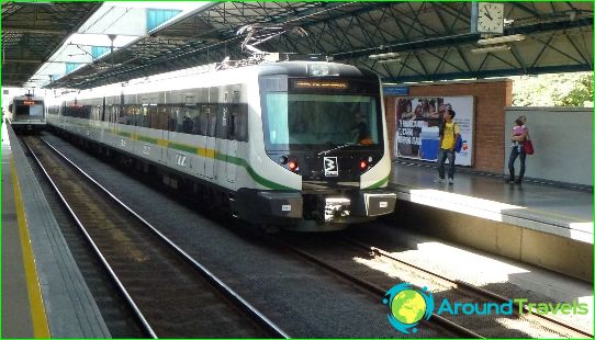
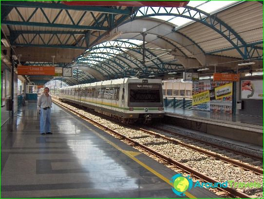
The subway of the Colombian city of Medellin is the very first in the country. It began its work in the fall of 1995. Today, 28 stations are open for passengers to enter and exit the metro, and the total length of two fully functioning Medellin underground lines is 32 kilometers. Every day, the Medellin metro transports at least half a million people.
The Medellin metro is part of the general rapid transit system. Two metro lines are linked to four funicular routes, one tram and three bus routes.
Line A of the Medellin metro is marked in blue on the maps and has a length of 23 kilometers. There are 21 stations on the route. Line B of the metro is marked in orange on the maps and stretches for 5.5 kilometers, offering to use seven stations for entry and exit. From the "orange" to the "blue" line, you can make the transition at the San Antonio station, which is the junction in the Medellin metro.
The lines of the funicular, which is part of the unified transport system of the city, are indicated on the diagrams in yellow, green, brown, dark gray and light gray. These transport lines also have letter markings - J, K, L, M and H - respectively..
At Asavedo station, the blue line of the metro intersects with the funicular line K, and at San Javier station you can switch from the orange route to the J-funicular.
Photos of Medellin metro
-
Medellin metro map
-
-
-
