Amundsen sea

The Amundsen Sea is located in the Southern Ocean. Its waters wash over Antarctica, so ice in the water area is observed all year round. The northern border of the sea runs along Cape Dart, the rest of the borders run along the continental line. The map of Amundsen's Sea shows that in the southeast it juts heavily into Mary Byrd's land. This is a marginal reservoir that is open to the north, so its waters mix freely with the waters of the ocean. The sea area is approximately 98 thousand square meters. km. Average depth is 286 m.
Main geographic characteristics
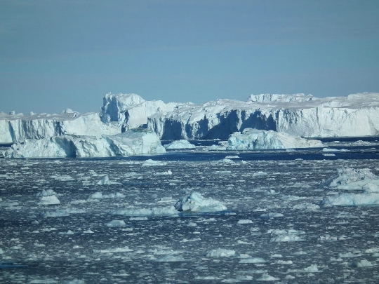
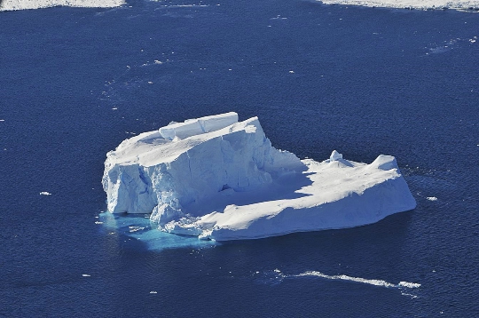
The sea was designated in honor of the Norwegian polar explorer Roald Amundsen. Together with the adjacent part of the Southern Ocean, the Amundsen Sea is a place of accumulation of the Pacific ice. The reservoir in question is considered the most inaccessible, poorly studied and harsh sea in the world. No ship has yet been able to reach the icy coast of the Amundsen Sea. And this is not surprising, because the sea shores are completely covered with ice. They are ice barriers and cliffs surrounded by fast ice. Through this sea, the Antarctic ice sheet is unloaded, resulting in the formation of a huge number of icebergs every year..
The sea shelf is a plain with a slight slope towards the mainland. The depth at the outer edge of the shelf is 500 m. The flat and steep continental slope is about 4000 m deep. The Amundsen Sea is bordered by the Ross and Bellingshausen Seas. The coastal zone is occupied by shelf and continental glaciers.
Climatic conditions
Sea water has a temperature below 0 degrees all year round, since the water area is located in the Antarctic region. In summer, the salinity of the water is 33.5 ppm. Air masses from the cold mainland prevail over the sea. Ice covers the sea all year round. The reservoir communicates freely with ocean waters. In the winter season, the air over the water area is very cold. The lowest temperature is observed from June to September. The air temperature is influenced by the speed and direction of the wind. If there is a storm at sea, then in the south of the sea the temperature reaches -35 degrees, and in the north it drops to -50 degrees. With northern winds, the air temperature rises slightly.
In summer, it warms slightly and for a short time. The warmest months on the Amundsen Sea coast are February, January and December. In February, in the northern regions the air temperature is -8 degrees, and in the southern regions it reaches a temperature of -16 degrees. In summer, ice drifts across the water area. In the south of the sea, small spaces of free water are formed. In winter, the whole sea is covered with ice. Surface layers of water have a temperature of -1.5 degrees.
Inhabitants of the harsh sea
There are notothenium fish in the sea water, which serve as prey for albatrosses and penguins. In the Amundsen Sea, there are whales that swim into the area of ice accumulation. Killer whales swim up to the shores of Antarctica. Glaciers are home to seals, leopard seals.


