Baffin Sea

Greenland is separated from the Canadian Arctic Archipelago by the Baffin Sea. The southern and northern boundaries of the reservoir are conditional. The sea stretches along the meridian and belongs to the island oceanic type. It connects with the Atlantic Ocean through the Strait of Davis. The Baffin Sea is loosely related to the cold Lincoln Sea from the Arctic Ocean basin. The area of the reservoir is approximately 530 thousand square meters. km. The deepest is 2414 m, and the average depth is 804 m. There are many fjords and bays on the coast of the Baffin Sea. The largest of them are: Hom, Melville, Karrats Fjord, Disko, etc..
Climatic conditions
A map of the Baffin Sea reveals that it lies entirely within the Arctic Circle. The water area stretches between the warm part of the Atlantic and the harsh Arctic Ocean. Therefore, the climate in the Baffin Sea area is arctic. The air temperature varies significantly from season to season. Cloudy weather prevails here, north-west and north winds blow. Summers are foggy and cold, while winters are dry and frosty. In February, the air temperature in the north drops to -30 degrees.
Near Greenland it is a little warmer - about -18 degrees. In the winter months, the speed of cold winds reaches 9 m / s. In the west of Greenland, easterly and northeasterly winds are often observed, due to which the air temperature rises. The wind sometimes turns into a storm. Dry and warm winds, which in Greenland are called «hair dryers», can increase the air temperature by 20 degrees per day.
Baffin Sea Ice
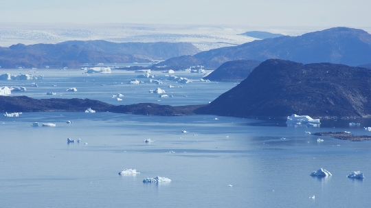
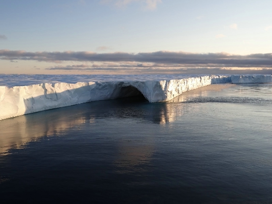
In the water area, ice is present in any season. However, their number and distribution vary by month and season. Ice begins to form in the northern part of the reservoir in early October. In November, the sea is covered by fast ice. In winter, floating and stationary ice forms above the water. Ice fields are formed on the sea, connected by separate ice floes. The Baffin ice massif is located in the west of the sea. Sometimes it is absent, but usually it forms again by autumn..
The sea is considered to be very cold and inhospitable. Navigation in the summer is almost impossible due to the numerous ice floes and icebergs. Only small transport and fishing vessels ply the sea. Transport links in Greenland and Baffin Land are possible only by sea transport. The inaccessibility and complexity of navigation are factors that have a positive effect on the state of the underwater world. More than 20 thousand whales live in the Baffin Sea. There are narwhals, herring, cod, haddock, capelin, etc..


