Sea Banda

Between the islands of the Malay Archipelago, in the western part of the Pacific Ocean, stretches the warm Banda Sea. It is united by straits with such seas as Timor, Sulawesi, Javan and Arafura. Its water area connects with the Indian Ocean through the Timor Sea. The area of the reservoir is about 714 thousand square meters. km. It stretches for 1000 km from west to east and 500 km from north to south. Its waters wash the coast of East Timor and Indonesia.
Main geographic features
In this sea, the tides are not very high - about 3 m. The Weber depression is the deepest point - about 7440 m deep. The temperature of the sea water in the surface layers changes insignificantly and is 26-29 degrees. Seasonal winds create currents on the surface of the water. On the coast of the Banda Sea, the climate is influenced by the monsoons. The availability of the reservoir depends on the presence or absence of storms.
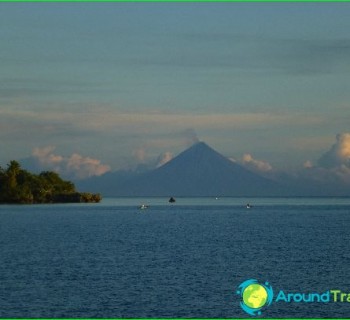
The reservoir in question is considered to be deep-water. Six basins were found at the bottom, the depth of which exceeds 4 km. The islands of the Banda Sea were formed mainly due to the activity of volcanoes. There are also coral islands in the water area. Deep-sea places are covered with silt with impurities of volcanic origin. Sandy bottom observed in coastal areas.
Underwater life in the Banda sea
The natural world of the reservoir is very rich, especially in shallow areas. Reef formations are concentrated near the islands. They are inhabited by a variety of marine organisms that will delight the reef community. At the bottom of the reservoir there are crustaceans, sea snakes, worms, molluscs, echinoderms, etc. The flora in this sea is poorly represented, as in other warm seas. But there are quite a few algae here. The Banda tropical sea strikes with a variety of fauna. Fish of different shapes, sizes and colors move in the water column. Sharks, moray eels, stingrays and other dangerous creatures are found in the water area..
Significance of the sea Banda
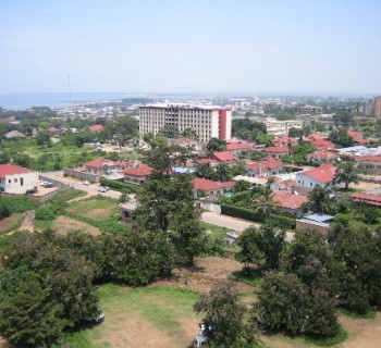
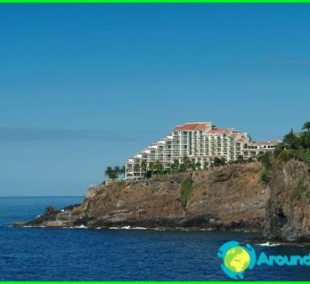
The Ambon archipelago is located near the Seram island. The largest island among them is Ambon. Its favorable geographical position has made it the most attractive island in the archipelago. The port of Ambon is located there, which is of great importance for the Indonesian economy. The Banda Sea coast is unevenly populated. There is a small population on the islands of Seram and Halmakhera. More crowded on the islands of Ternate and Ambon. Locals are traditionally engaged in fishing, agriculture and tourism..