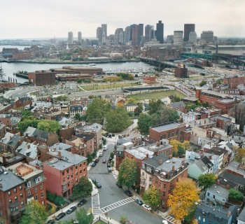
Boston metro: map, description, photo

Boston's subway network ('T') consists of three subway lines (red, orange and blue lines) and a light rail line (green line). Three metro lines are underground in the city center, but on the outskirts of the city they come to the surface. The total length of all tracks is 101.5 km.
Since the opening of the Cambridge railway on March 26, 1856, Boston has never fallen behind the trendsetters on this issue - the city also acquired its own tram line. Thus, Boston is the city of the world's oldest operating tram. By the end of the century, the movement of surface public transport was so difficult that the authorities faced the question of organizing an underground road. In 1897, the city got its own subway. The first elevated railway and the first subway line in Boston were built 34 years after their appearance in London, but three years before New York.
The last tram to Middlesex ran through the city in 1930. And at the beginning of 1953, trains passed along the remaining rails in the tunnels. The tunnel between Park St and Boylston is currently part of the Green Line.
In the early 2000s, the Boston subway averaged over 600,000 passengers a day. Thus, the Boston subway is the fourth largest subway in terms of passenger traffic in the United States of America..
Boston Subway Lines
Currently, transportation is carried out on four lines:
Orange Line: 19 stations, runs from Forest Hills station to Oak Grove, total length 18 km;
Blue Line: 12 stations, runs northeast and southeast from Bowdoin Station to Wonderland Station, 9.5 km long. Blue color for the line was chosen due to its proximity to Boston Bay. The branch runs under the bay and along the coast.
Red line: 22 stations, branches from Alewife station into two branches: to Braintree and to Ashmont, length 33 km.
Green line: 70 stations, forks from Lechmere station into two lines: Symphony and Kenmore, line length 41 km.
Key Boston Subway Stations
Park street - connects the red and green lines.
State - change from blue to orange line.
Government Center - change from blue to green line.
Downtown Crossing - transfer from red to orange line.
Haymarket and North Station - transfer from orange to green line.
Boston Subway Hours
The Boston Subway runs from 5 a.m. to 12:45 a.m.
Train intervals are 3-4 minutes during rush hours and 5-10 minutes during the rest of the day..
Boston subway tickets
Metro tickets can be bought at ticket machines (for cash) and at the metro ticket offices. There are one-time and rechargeable cards (Charlie Cards) with different expiration dates. Children under 12 years old are entitled to free travel when accompanied by an adult. Every adult can travel with two children. A 50% discount on travel has been introduced for students, seniors and the disabled.