Rivers of Abkhazia

All the rivers of Abkhazia originate on the slopes of the Caucasus Mountains (southern slopes) and all end up flowing into the waters of the Black Sea. The type of river feeding is mainly glacial.
Bzyb river
One of the rivers of Abkhazia, originating on the slopes of the Western Caucasus (altitude 2300 above sea level). The total length of the channel is 110 kilometers and the river is not navigable along its entire length. The river runs along the bottom of a narrow gorge.
The total area of the basin is 1510 sq. Km, but despite this relatively small figure, the river is unusually full-flowing. This is explained by the fact that a lot of precipitation falls on the territory of the Western Transcaucasia..
There are many trout and Black Sea salmon in the waters of Bzybi. In addition, the river is interesting as a route for water tourism. But it is worth remembering that this is one of the most difficult rivers for the passage of Abkhazia..
Kodor River (Kodori)
The river bed territorially belongs to two states - Abkhazia and Georgia. The total length of the Kodori is 170 kilometers. The source of the river is located on the Main Caucasian ridge (in the vicinity of the Nakharsky Pass) and this is the confluence of two mountain rivers - Saken and Gvandra. Kodori is a typical mountain river with a very fast flow.
Psou River
One of the rivers of the Western Caucasus. At the moment, the river bed is the natural border between Russia and Abkhazia. The river is small, only 53 kilometers. The source of Psou is located on Mount Agepsta, and flows into the waters of the Black Sea.
Despite the fact that the river is short, it is very fast and full of water. This is explained by the fact that on the slopes of the Greater Caucasus (its western part) the absolute maximum precipitation falls - up to 3,000 mm during the year. In its upper reaches, the river passes among the high Turi mountains, the slopes of which are covered with dense fir forests.
Until the middle of the nineteenth century, the river valley was inhabited by ethnic Abkhazians, but after that Muslims moved to the territory of Turkey, this area was practically deserted. People appeared here again only in the last years of the last century..
Main tributaries: Glubokaya; Mendelikh; Arkva; Phista; Nameless.
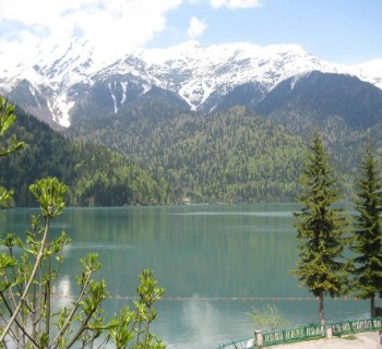
Yupshara river
The river passes through the territory of the northern part of Abkhazia. The source of the river is the waters of Lake Ritsa. It flows into the waters of Gega. The total length of the river channel is only 12.6 kilometers, but the average slope of the current is 48.7 m / km. The maximum water level in the river occurs in May, and the lowest level is recorded in February..
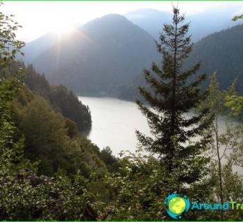
Along the stream there is a road towards the shores of Lake Ritsa. And this route is very popular with tourists. In the summertime, the ground bed of the river dries up completely, since Yushpara has an underground bed.
There are many rapids on the river, as it runs along the bottom of a narrow and deep gorge. And this makes the river extremely interesting for rafting. The total length of the sports section reaches 9.1 kilometers.