Vienna metro: map, photo, description

Vienna metro map
Vienna's subway, known as the U-Bahn, is one of the most modern metros in Europe. The metro was opened on May 8, 1976, but its system uses sections of the Vienna railway, laid at the turn of the 19th and 20th centuries..
Vienna metro opening hours
The metro is open from 5 a.m. to 12 a.m. on weekdays, and on Friday and Saturday, as well as on the eve of public holidays, the metro operates around the clock with a waiting period increased to 15 minutes.
Vienna metro tickets
The Vienna transport system has a general ticket for all types of transport: metro, tram, train (S-Bahn) and bus. Single tickets and top-up cards can be purchased at Wiener Linien offices, tobacco shops and kiosks.
During the Austrian school holidays, as well as on Sundays and public holidays, children under the age of 15 can ride with an ID. Travel for children under 6 years old on any type of public transport is free. Bicycles can be transported by metro for half the fare, excluding peak times.
Vienna metro lines
The Vienna metro consists of 5 lines and 100 stations. Its length is 69.8 kilometers. Almost all metro lines are underground, with the exception of U6, which partially comes to the surface.
Line U1 - red line (19 stations, length - 14.6 km). One of the longest in the network connects the east and south of the city, passing through the center. Stations: Leopoldau, Grossfeldsiedlung, Aderklaaer Strasse, Rennbahnweg, Kagraner Platz, Kagran, Alte Donau, Kaisermühlen, Donauinsel, Vorgartenstrasse, Praterstern, Nestroyplatz, Stubentor, Karlsplatz; Taubstummengasse; Südtiroler Platz, Keplerplatz, Reumannplatz.
Line U2 - purple line (16 stations, length 7.8 km) - the shortest line, runs from the east to the city center. Currently, work is underway to increase the line by 5 km. It currently exists. Stops: Karlsplatz, Museumsquartier; Volkstheater, Rathaus, Schottentor, Taborstrasse, Praterstern, Messe-Prater, Krieau, Stadion, Donaumarina, Donaustadtbrücke, Stadlau, Hardeggasse, Donauspital, Asperstrasse.
Linea U3 - yellow line (21 stations, length -13.5 km) stretches from the southeast to the west of the city. Stations: Ottakring, Kendlerstrasse, Hütteldorfer Strasse, Johnstrasse, Schweglerstrasse, Westbahnhof, Zieglergasse, Neubaugasse, Volkstheater, Herrengasse, Stubentor, Stephansplatz, Landstrasse, Rochusagasse, Kardinal-Nagasserer,.
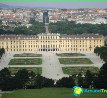
Line U4 - green line (20 stations, length - 16.4 km), the most visited metro line in Vienna, covers all the main attractions of the city, including the Schönbrunn Palace. Stations: Hütteldorf, Ober St. Veit, Unter St. Veit, Braunschweiggasse, Hietzing, Schönbrunn, Meidling Hauptstrasse, Längenfeldgasse, Margarettengürtel, Pilgramgasse, Kettenbrücken-gasse, Karlsplatz, Stadpark, Landstrasse, Schwedenplatz, Scdensättenring, Rosseckel,.
Line U6 - brown line (24 stations, length - 17.5 km) is the longest line of the Vienna underground, which runs from north to south of the western part of the city. Despite the fact that the line uses sections of the Vienna railway built more than 100 years ago, the line is not very interesting for tourists, because it does not cross the city center. Stations: Floridsdorf, Neue Donau, Handelskai, Dresdner Strasse, Jägerstrasse, Spittelau, Nussdorfer strasse, Währinger strasse, Michelbeuern, Alser Strasse, Josefstädter strasse, Thaliastrasse, Burggasse, Westbahnhof, Gumpendorfer strasse, Längenfeldgasse, Niederhofstrasse, Philadelphiabrücke, Tscherttegasse, Am Schöpfwerk, Alterlaa, Erlaaer Strasse, Perfektastrasse, Siebenhirten.
Photos of Vienna metro
-

Vienna metro map
-

-

-

-