Metro Budapest: map, photo, description

Metro map of Budapest
The Budapest Metro is the oldest electrified underground rail system on the European continent, and the second oldest (after London) in Europe. The first line of the Budapest subway was built in 1896 and declared a World Heritage Site in 2002.
The first metro line was conceived as a means of transporting passengers from the city center to the city park on Andrássy Avenue. The Hungarian Sejm approved the Budapest metro project in 1870. Construction began in 1894 and was carried out by the German firm Siemens & Halske, employing about 2000 people and the most modern technology. The line was built by an open method, and the work was completed strictly on time - on May 2, 1896 (in the year of the celebration of the millennium of the arrival of the Magyars on the Danube), the metro was opened, Emperor Franz Joseph took part in the events.
The original route ran from northeast to southwest along Andrássy Avenue from Vereshmarty Square to the City Park. Its length was 3.7 km. The line consisted of eleven stations - nine underground and two on the surface. With a two-minute interval, the line was able to carry up to 35,000 passengers per day (today the line serves about 103,000 passengers per day)
In 1895, plans were announced for the construction of the next two metro lines, with directions from north to south and from east to west. More detailed planning of the second line began in 1942, and the construction itself began in 1950 by decree of the Council of Ministers. It was planned to complete construction in 1955, but from 1954 to 1963 construction was suspended for financial and political reasons. As a result, Line 2 with seven stations was built with the help of Soviet specialists and opened on April 4, 1970. Line 2 is the only route across the Danube from Pest to Buda.
The first line underwent a major overhaul in the period from 1970 to 1973 - the rolling stock was replaced and the transition from left-hand traffic to right-hand traffic was carried out.
Planning for Line 3 began in 1963, construction began in 1970, again under the guidance of Soviet specialists. The first site was opened in 1976. Today it is the longest metro line in Budapest. Concurrently with the opening of Line 3, the Budapest metro adopted a color-coding system for lines on metro maps and signs to facilitate identification. The first line is yellow, the second line is red, and the third is blue. Green is used to represent the commuter train network.
The construction of Line 4 has a long history, with plans dating back to 1972. The latest information indicates that its construction will be completed in 2014, and thus, its construction period will be 42 years - longer than the construction of any other metro line in Budapest..
The Budapest Metro runs daily from 4:30 am to 11:30 pm. Tickets for the Budapest metro are valid for all types of transport in the city, they are sold at ticket machines, metro ticket offices and city kiosks, both one-time and «a book» 10 pieces each. Punch tickets from «books» follows, without tearing them apart. Single tickets are valid for an hour after composting (half an hour on the first - yellow line). Controllers work on routes.
Budapest metro video
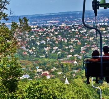
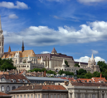
Photos of Budapest metro
-

Metro map of Budapest
-

-

-
-