Bangalore metro: diagram, photo, description
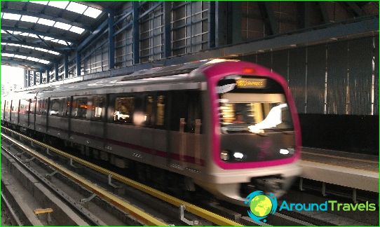
In the Indian city of Bangalore, there is an off-street urban transport system, which is a high-speed rail subway. It was put into operation in October 2010. Bangalore Metro is the fourth to open in India.
The design of the Bangalore metro began at the end of the last century, but the final version of the project was approved only in 2006. The construction of the Bangalore metro was carried out with the involvement of Japanese specialists and continues to this day.
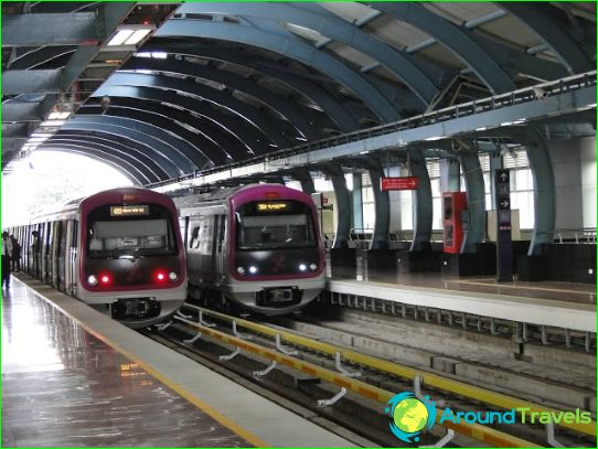
The Bangalore metro has two active lines, which are indicated on the schemes in lilac and green colors. The total length of all tracks of the Bangalore subway is more than 42 kilometers. Some of the rails are laid underground, the rest are in overhead rails. They are raised on concrete foundations high enough above the ground. Some stations and tracks are located 10 meters above city streets.
Line 1 runs from north to south and is marked in green. It stretches for 24 kilometers and only three of its 24 stations are underground. The Green Route connects Hesaraghatta Road and Puttenahalli.
Line 2 of the Bangalore metro runs from the western outskirts of the city to the east and contains 17 stations along its length, five of which are built underground. Its length is just over 18 kilometers. First, the section of the second line was put into operation - in 2011, the first six stations took passengers.
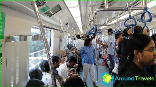
The trains on the Bangalore metro lines use three-car trains, and the voltage is transferred using a contact rail. The cars are equipped with an air conditioning system. All announcements and names of stations in the Bangalore metro are duplicated in English. Voice messages are also made in two languages.
Photos of Bangalore metro
Bangalore metro map
