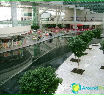
Ankara metro: diagram, photo, description

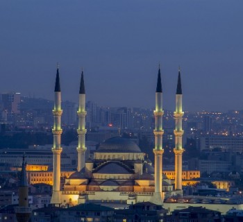
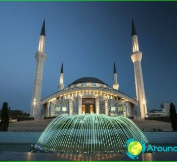
In the capital of the Republic of Turkey, the city of Ankara, the need to build a metro has long been ripe - the city is home to more than five million people, and therefore the problem with movement and traffic jams is one of the most pressing.
In 1996, the first stage of the Ankara metro was commissioned, which today consists of two lines. The first line is a light metro with a track length of almost nine kilometers. The second line stretches for 15 kilometers, of which 6.5 kilometers are in an underground tunnel. On the outskirts of the city, the paths are laid by an elevated way. Passengers of the Ankara metro can use the services of 45 stations, where it is possible to transfer to other types of public transport in the Turkish capital.
Ankara Metro Tickets
Payment for travel in the Ankara metro is carried out with the help of travel documents. They can be purchased at ticket offices at stations and activated in the readers of turnstiles. You must keep your tickets until the end of the trip.