Philadelphia metro: diagram, photo, description
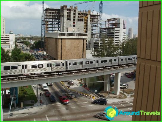
The Philadelphia Metro opened in 1907 and became the fourth in the United States. Today, this type of transport in the city ranks sixth in the country in terms of the number of passengers carried annually. Every day, at least three hundred thousand people use the subway in Philadelphia, which helps to significantly relieve the traffic on the highways of the fifth most populous city in the United States of America..
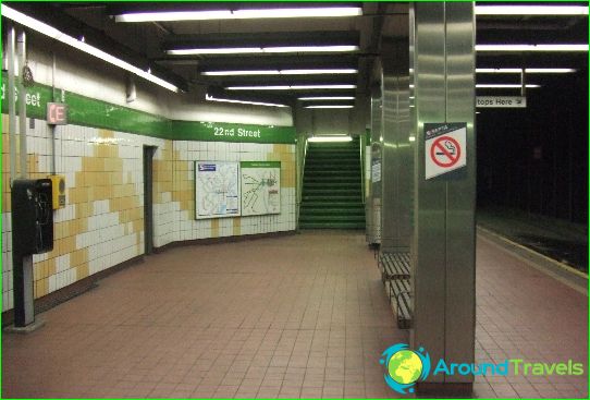
Two high-speed routes and five underground tram lines on the Philadelphia subway stretch for 84 kilometers. Philadelphia metro passengers can use 85 stations open for entry-exit and transfers to another mode of public transport.
The first line of the Philadelphia metro is indicated in blue on the maps. It is called "Market Frankford" and connects the western districts of the city from 69th Street station to the center on Market Street. After passing the central quarters, where the route goes underground, the "blue" line turns north. A total of 28 stations operate on the first line.
The Philadelphia Subway Rapid Route 2 is marked in orange on the map. This line is completely underground, only its terminal Fern Rock is built on the surface of the earth. The Orange Route begins on the northern outskirts of Philadelphia and runs along Broad Street, for which it got its name. The Broad Street subway line of Philadelphia has a branch from the central part to the east. Changing from the orange line of the Philadelphia metro to the blue line and vice versa is possible at City Hall station, which is one of 57 on route number 2.
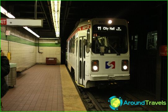
Trams that are part of the Philadelphia subway system follow the tunnel in the city center, and exit to the surface in other areas. Their routes are marked in green on the diagrams.
Philadelphia Metro tickets
You can pay for the Metro in Philadelphia at the machines at the station entrance. Smart cards are rechargeable and activated in special devices at turnstiles.
