Suzhou subway: diagram, photo, description
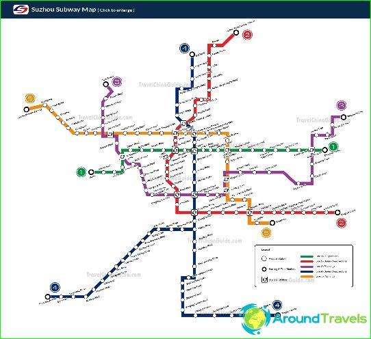
Suzhou Metro Map
The metro of the Chinese Suzhou is officially called the Suzhou City Railroad. Its first stage was commissioned in 2012. Suzhou Metro has two operating lines, on which 46 stations are open for entry-exit and transfer of passengers. The total length of Suzhou metro lines is 52 kilometers.
The first line of the Suzhou subway is marked in red on the public transport schemes. It stretched from west to east through the city center and connected the industrial outskirts with it. There are 24 stations on the line, it is served by more than twenty trains, each of which has four carriages connected. The length of the "red" line is about 26 kilometers.
Suzhou Metro Line 2 is marked in blue on the maps. Its length exceeds 26 kilometers, and 22 stations have been built for the needs of passengers. The route runs from north to south and starts from the Shanghai-Beijing Railway Station, which is operated by high-speed trains. Further, the "blue" line runs through the business center and the main station, and it ends in the south within Wuzhong - Suzhou Special Economic Zone.
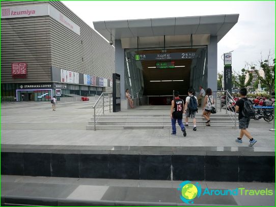
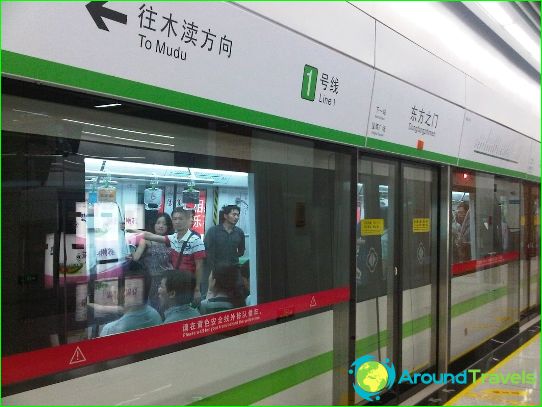
Each metro station in Suzhou has a lift for the disabled. Street signs in the direction of metro stations have a recognizable logo, and the names of the stations on them are duplicated in English. The names of the stations are also written in two languages on the spot. Information boards on the platforms provide information on train intervals and the expected arrival time of the next train. Some of Suzhou's metro stations are distinctively designed and showcase contemporary avant-garde art..
Photos of Suzhou subway
-
Suzhou Metro Map
-
-
