Tianjin metro: diagram, photo, description
Tianjin metro map
In 1984, a new type of urban transport, the subway, opened in Tianjin, China. It became the second in the country after the Beijing one and significantly relieved the traffic on city streets and highways. Today, the Tianjin metro has four operating lines, on which passengers can use 86 stations to enter and exit and transfer to other routes and ground transport. Tianjin metro lines stretch for almost 135 kilometers.
The construction of the subway began in 1970. The first line of the Tianjin metro was commissioned in 1984. It consisted of eight stations. After the reconstruction of the first line, marked in red on the diagrams, its length increased significantly, and the number of stations increased to twenty-two. The "red" line starts in the north-western part of the city and continues south to the center, where the route of its trains turns to the east. It intersects with the "yellow" and "blue" lines, which passengers can switch to if necessary. The "yellow" route number 2 connects the east and west of Tianjin, and the "blue" route number 3 runs from northeast to south and then to the southwest. In 2001, construction began on line 9 in Tianjin Metro, which is the so-called "easy" option. Its first stage was commissioned two years after it was laid, and in 2006 19 stations were already operating on the 9th branch of the "blue" color. Line 9 is the first and so far the only one in Tianjin subway is operated automatically. It stretches from the city center towards the coast, linking the old part of Tianjin with its new economic zone..
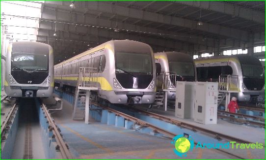
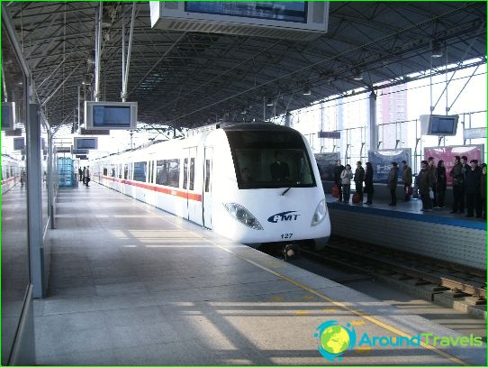
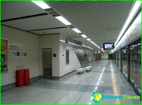
Photos of Tianjin metro
-
Tianjin metro map
-
-
