Rivers of Cuba
All rivers in Cuba are short and very scarce. At the same time, most of it flows into the waters of the Caribbean Sea..
Almandares river
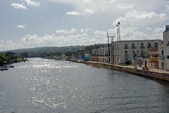
Geographically, the river bed is located in the western part of the island and has a total length of 47 kilometers. The source of the river is Lake Sequito, located at an altitude of 225 meters above sea level. Then Almandares crosses the country in a northwest direction and flows into the waters of the Florida Strait (near the city of Havana).
The waters of the river are very heavily polluted. This is facilitated by numerous enterprises - breweries, construction plants, gas storage facilities and paper factories..
Almandarem Park (city park of the capital) is located on the river bank.
Kauto river
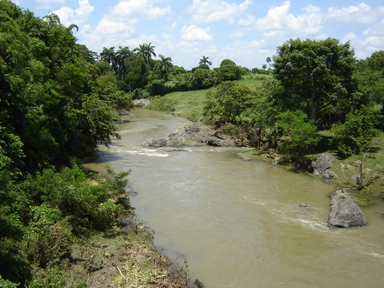
Cauto runs through the lands of the provinces of Santiago de Cuba and Granma. Moreover, it is the longest river on the island - the total length of the river bed is 343 kilometers.
The source of Kauto is the southeastern part of the island, the Sierra Maestra mountains. After that, the river crosses the country in a northwest direction to end in the waters of the Guacanayabo Bay (near the city of Manzanillo).
The river is navigable only in the lower course - the last 110 kilometers before the confluence. The river is heavily polluted and cannot be used as a source of drinking water.
