Tokyo metro: diagram, photo, description
Tokyo subway map
The Tokyo Metro is a public urban transport system that today ranks first in the world in terms of passenger traffic. More than 3.2 billion passengers use its services annually. The total length of Tokyo metro lines is more than 310 kilometers, and almost 300 stations have been opened for the needs of its users. The Tokyo Metro has 13 operating lines that carry almost 9 million passengers daily.
The construction of the Tokyo metro began in 1920, and seven years later the first line was already put into operation. All routes of the Tokyo subway are color-coded and marked with letters on the diagrams. The first to open was the "orange" line connecting Ueno station and Asakusa station. It was called the first subway in the East, and today it is known as the Ginza Line. The "red" route of the Tokyo subway stretches for 27 kilometers and connected in 1954 the Ikebukuro and Otianomizu stations. The Hibiya Silver Line has 21 stations along its length and connects the main areas of central Tokyo. It has land sections along its length. The Tozai Blue Line connects the western and eastern districts of the city and offers passengers to use the services of 23 stations.
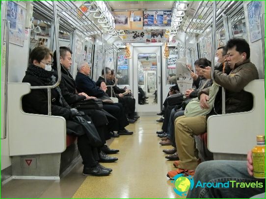
All cars in the Tokyo subway are air-conditioned, and the seats have a special heating system. The stops are announced by Japanese announcers and dubbed in English. The Tokyo subway is characterized by a high level of cleanliness, and the train schedule on it is strictly observed. The cars are connected with each other by convenient passageways, which allows, if necessary, to pass the entire train while driving.
Photos of Tokyo subway
-
Tokyo subway map
-
-
-
