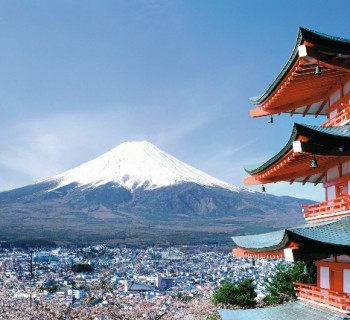
Rivers of Japan

Japan is a beautiful island nation. Due to the peculiarities of the relief, the rivers of Japan cannot boast of a great length. Only a few of the country's waterways are more than 200 kilometers long..
Ishikari river
The river is located on the territory of the island of Hokkaido and is the longest local river. Its length is 268 kilometers. The channel passes through the territory of two cities - Sapporo and Asahivaka.
Translated, the name of the river sounds like «writhing river», which is completely true. But after the expansion of the territory of the city of Sapporo, the river bed was artificially straightened..
The source of the river is the Ishikari mountains, near the Tokachi volcano.
Tone River (Tone-gawa)
The river bed belongs to the Kanto region. Its length is 323 kilometers. And this is the second longest river in the country. The source is Mount Ominakami (border of perfects Niigata and Gunma). Confluence - Pacific Ocean.
Locals call Tone a little differently: Bando Taro. Bando is the old name for the river, and Taro is the most common name given to the oldest boy in the family..
In ancient times, the river changed its course quite often. The reason for this was the frequent flooding. Initially, it flowed into Tokyo Bay, and its modern tributaries - the Kinu and Watarse - were independent rivers. The transformation of the channel began in the 17th century. The waters of the river were used to deliver goods. Tonegawa ceased to be the main transport route only in the 19th century, when the construction of the railway was completed..
Every spring kayaking and rafting competitions are held here every year.
Shinano River (Shinano-gawa)
The river flows through the territory of Nagano Chikumo Prefecture and is the longest river in Japan - 367 kilometers. Sinano is formed by the confluence of the Sai and Jikuma rivers. Confluence - Sea of Japan (near Niigata city).
Arakawa river
Arakawa flows through the island of Honshu and passes through the territory of two prefectures: Tokyo and Saitama. The total length of the river is 173 kilometers.
The beginning of Arakawa is located on the slope of Mount Kobushi (Saitama Prefecture). Then she descends and takes a southerly direction, hurrying to the capital of the country, the city of Tokyo. The channel runs through city streets, and then Arakawa ends the path, connecting with the waters of Tokyo Bay (Haneda airport area).
Despite the fact that the Arakawa is a small river in length, it is the widest in the country.