Daegu subway: diagram, photo, description
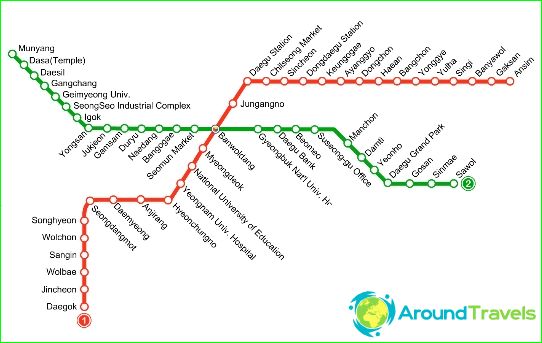
Daegu subway map
The subway of the South Korean city of Daegu first received passengers in 1997. It is the third largest metro in the country. The length of its lines is 58 kilometers. Today, the Daegu subway has two full-fledged subway routes with 59 stations. The passenger traffic per day is at least 350 thousand people. Daegu subway services are used by 125 million visitors annually. The first Daegu subway line went into operation in November 1997. Its length is 25 kilometers, and 30 stations are open for the entry and exit of passengers. This line is marked in red on the Daegu subway maps and connects the city's southwestern to eastern districts. The train covers the entire "red" route in 50 minutes.
Approximately in the middle of the "red" line, you can switch to the second line of the Daegu subway - "green". It stretches from west to east and is 31 kilometers long. Passengers can get on the trains of the second route at 29 stations.
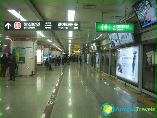
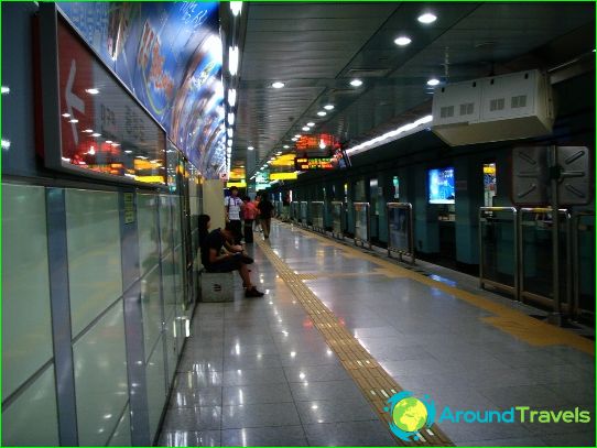
The metro development project envisages the construction of another Daegu subway line, which will connect the northern and southern districts of the city. The Daegu Metro links the city center with the international airport, residential areas and industrial areas. Some of the Daegu subway stations and tracks are built underground, while others are above ground. Line diagrams and station names are duplicated in English for the convenience of foreign passengers. The stations are equipped with lifts for the disabled, platform edge fences and other technical structures for comfortable and safe operation of the Daegu subway. At some stations, shopping galleries are open, where you can buy drinks and food, household items, clothes, the latest press and other goods..
Photos of Daegu subway
-
Daegu subway map
-
-
-
