Solomon sea

The Solomon Sea belongs to the Pacific Ocean. It is inter-island, washing the shores of islands such as the Solomon Islands, New Guinea and New Britain. In the vicinity of this reservoir there are other seas: Coral and Bismarck. The area of the Solomon Sea is approximately 755 thousand km2. sq. Its depth, on average, is 2652 m.The maximum depth was recorded in the New Britain depression - 9103 m.
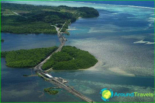
A map of the Solomon Sea shows that it is the territory of states such as Papua New Guinea and the Solomon Islands. The main port of the sea is Honiara, which is the capital of the Solomon Islands. There are several large islands in the water area: Bougainville, New Guinea, New Britain, New Georgia, Buka, Guadalcanal and the Louisiada archipelago.
Geographic features
The bottom relief of this sea is represented by two deep basins. Numerous active volcanoes are hidden under the water. There are many coral formations and reefs in the southern part of the water area. There is an increased activity of volcanoes near New Georgia. Due to the activity of the Kavachi volcano in 2003, a large ridge went under water. On the other side of the water area, thanks to underwater tremors, the Nuon Peninsula (part of the island of New Guinea) rose.
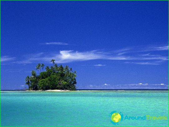
Coral reefs are very popular with diving enthusiasts. The underwater nature of the Solomon Sea is very picturesque. In addition, there are sunken ships and downed planes at the bottom. The larger islands are volcanic, while the smaller ones are coral. The coast of the Solomon Sea is covered with savannah and tropical forests. The deepest depression in the sea is the New British Basin. The flora and fauna of the reservoir is represented by a variety of corals, starfish, crabs, octopuses, seahorses, tropical fish, etc..
Weather
The climate is transitional, from hot and humid equatorial to subequatorial. On the sea surface, the water temperature is +27 degrees. The salinity is 34.5 ppm. Over the water area, thick clouds are observed 220 days a year. At the same time, there are about 145 sunny days. There are two rainy seasons in this area. In winter, the weather depends on the equatorial northwest monsoon, and in summer on the southeast trade winds. The air temperature is approximately +27 degrees all year round.
Economic significance
Coastal countries are considered poor. The Solomon Islands is a country with a crippled economy. Almost the entire indigenous population is engaged in fishing and subsistence farming. Products such as fish, cocoa beans and copra are exported. Through the Solomon Sea, the Solomon Islands and New Guinea are connected with Japan, Australia and Great Britain. In recent years, tourism has been actively developing on the islands..


