Timor Sea

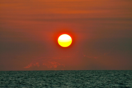
The Timor Sea is located in the Southern Hemisphere. This tropical sea is sometimes referred to as the Orange Sea. Its water area stretches between the island of Timor and Australia. It borders the Arafura Sea to the east and the Indian Ocean to the west. Timor Sea map gives you the opportunity to see the largest port in the area - Darwin, Australian city.
A significant part of the water area is located on the Sahul continental shelf. There are many banks, coral reefs and large atolls. To the north is the Timor Trench, which is a continuation of the Sunda Trench. A seismically active area has formed in the area of the Timor Trench. Such rivers as Victoria, Daily, Adelaide, King, Mitchell and others carry their waters to the Timor Sea. The area of this reservoir is approximately 432 thousand square meters. km. Its average depth is not very significant, but in some places there are great depths. For example, the depth of the Timor Basin is 3310 m. Seasonal currents prevail in the sea, which in winter are directed to the west, in summer they go to the east. The reservoir has a flat bottom topography, although in some places there are gaps. The average depth is considered to be an indicator equal to 200 m.
Climatic conditions
The Timor Sea is located in the monsoon subequatorial climate zone. It is a tropical shallow sea where typhoons often originate. Tropical cyclones cause a lot of problems for people, disrupting the work of oil production facilities. The powerful cyclone Tracy in 1974 caused massive destruction in Darwin. In winter, the rainy season is observed in the sea area. The water temperature is always high. Even in winter, it does not drop below +25 degrees. On the coast of the Timor Sea, strong winds are rare. Tropical cyclones usually originate in the southern area or in the Arafura Sea. Sometimes the wind speed reaches 30 m / s.
Significance of the Timor Sea
The water area is rich in hydrocarbons. Several projects for the production of gas and oil have already been implemented. New projects are under development. Experts are searching for new deposits in the sea area. Bayu-Undan is considered the largest gas field. There is a joint development of gas by East Timor and Australia.
Dangers of the Timor Sea
The waters of this sea serve as a habitat for a variety of fish. Among them there are many creatures dangerous to humans. These are jellyfish, siphonophores, spiny poisonous fish, molluscs cones, octopuses, saltwater crocodiles. Sharks such as mako, tiger, blue, great white, and others swim here. Despite the dangers, fishermen set sail on this sea in search of commercial fish and shrimp.


