Taipei subway: diagram, photo, description
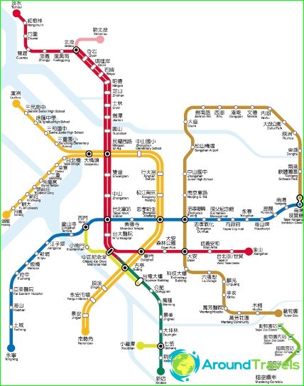
Taipei subway map
The Taipei Metro opened in 1996. In a huge metropolis, this type of transport has significantly reduced the problem of traffic jams on highways. Today it includes ten full-fledged lines, the length of routes on which is more than 120 kilometers. For passengers of the Taipei subway, 115 stations are open, receiving up to 1.7 million passengers daily. At least 600 million people use the Taipei subway every year.
Each of the ten metro lines in Taipei has its own markings on the diagrams. The "red" line connects the northwest with the eastern districts of the city, while passing through the business center. The "blue" line can be reached from the south-western outskirts to the eastern neighborhoods, and the "yellow" line, starting in the south, delivers passengers to the western suburbs.
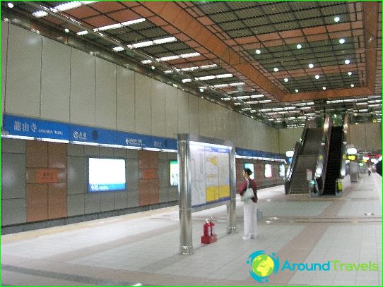
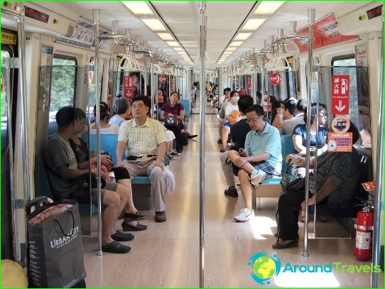
The announcement of the names of stations in Taipei subway cars is made in Chinese, but on the diagrams they are necessarily duplicated in English. For elderly passengers and people with disabilities, all Taipei subway stations are equipped with special elevators. Underground stops have a system of escalators, and information boards contain information about the remaining waiting time for the next train..
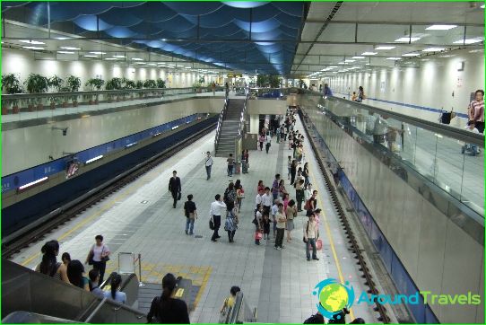
At stations, where there is a particularly intense passenger traffic, barriers have been installed that block the platform from the paths for the safety of people during rush hours. Unlike many subways in the world, the Taipei subway has toilet rooms and information points at every station. In addition to underground routes, there are also light metro lines in Taipei..
Photos of Taipei subway
-
Taipei subway map
-
-
-
