Salvador metro: diagram, photo, description
The Salvador Metro is a public transport system in the Brazilian city of Salvador, home to about three million people. The construction of the metro became an important part of the government program to combat traffic jams on the roads, which often became the cause of a complete traffic collapse in a densely populated metropolis..
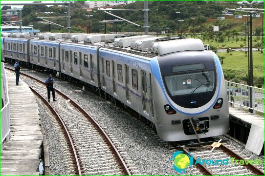
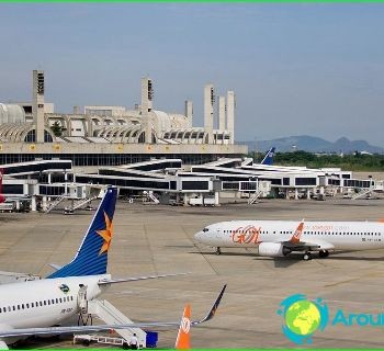
The Salvador metro transports more than 300 thousand passengers daily. Its first branch, shown in blue on the diagrams, was launched in 2012. Its length is more than five kilometers, and five stations have been opened for the entry and exit of passengers on the first line. In 2014, the builders will put into operation the second line of the Salvador metro, which will be marked in red on the diagram. It is tentatively known that seven stations will open on the "red" route. The "red" line will cross the city from southwest to northeast. The first line runs from north to south. Both branches will be connected by a transfer station. The second line of the Salvador metro will connect the city with the airport.
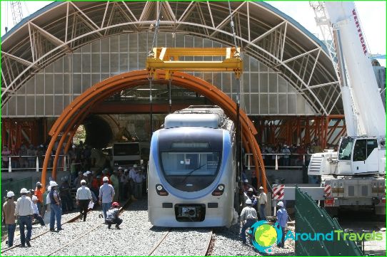
Part of the Salvador metro tracks pass underground, the rest are built in an open way, and trains follow them along elevated overpasses.
Tickets for the Salvador metro
The fare on the Salvador metro is paid with tickets purchased from the automatic ticket offices at the stations. Tickets are activated at the turnstiles.
