Metro Chicago: diagram, photo, description

The subway system in the Illinois capital city of Chicago is called "EL". This is an abbreviation of the English word "elevated", emphasizing that the second subway in the United States after New York runs mainly above the ground..
The first stage of the Chicago metro opened in the summer of 1892. This helped to relieve the streets and ensure the smooth operation of the port on Lake Michigan. The Chicago metro, built by an open method, caused a lot of complaints from the residents of the areas along which steel overpasses were laid. The metro was noisy and significantly reduced the value of real estate in these neighborhoods. But the decision to carry out further construction by the underground method began only in the middle of the twentieth century..
Today, the Chicago metro has eight operating lines, each of which has its own color for designation on the diagrams. The total length of all routes is more than 360 kilometers, and the number of stations is approaching one hundred and fifty. At the same time, only 20 km of train tracks travel through underground tunnels. On the day, the Chicago metro carries a record number of passengers, well in excess of 750 thousand people. The annual passenger traffic is at least 200 million.
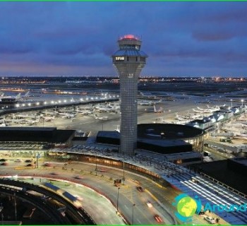
Each of the eight Chicago metro lines is color-coded on the diagrams. "Red" is the most popular and busiest, it crosses the city from north to south. The Blue Line connects Chicago O'Hare International Airport to the western suburb of Forrest Park. The Green Line is completely elevated and runs from the west through the downtown area to the south. The Orange Route connects another Chicago Midway Airport to the city center.