Osaka subway: diagram, photo, description

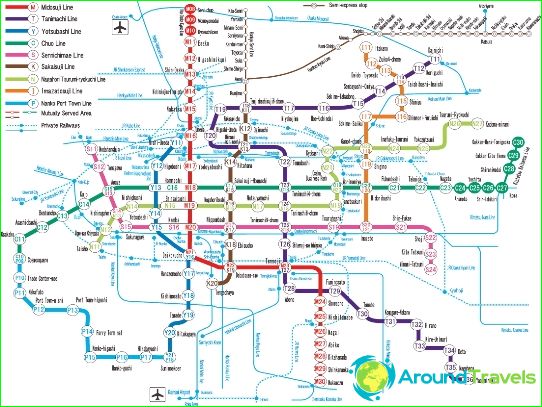
Osaka subway map
The metro of the Japanese city of Osaka first opened in 1933 and is one of the oldest in Asia. Today it consists of eight operating lines, on which more than 120 stations are open for entry-exit and passenger transfers. The total length of all Osaka subway routes is 130 kilometers. Almost two and a half million passengers use the Osaka Subway every day, which is almost 850 million a year. All Osaka subway lines are color-coded on the schematic map. Line number 1 is marked in red and is the oldest. It stretches from north to south, and the total length of its paths is almost 25 kilometers. The "red" line connects Esaka and Senri-Chuo stations.
Another popular line in the Osaka subway is "blue". It is laid from the southern districts to the city center, and its 11 stations serve up to 320 thousand passengers daily..
The longest line of the Osaka subway is "brown". Its length exceeds 40 kilometers. It was launched in 1969, and its passengers can use 22 stations. Osaka is connected from west to east by "green" line number 5, the length of which exceeds 20 kilometers.
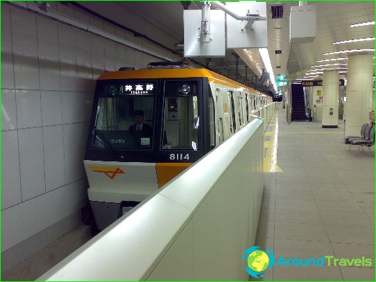
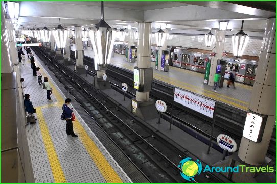
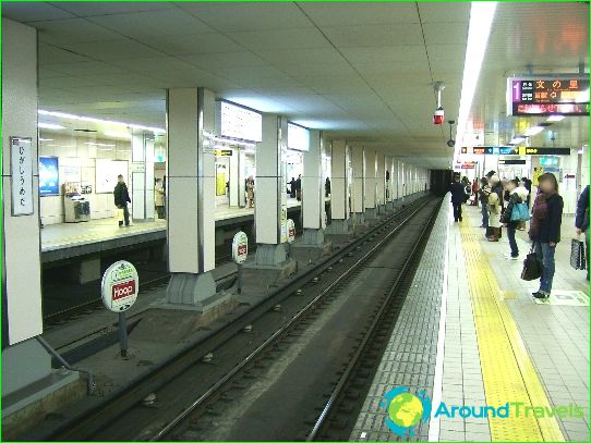
All Osaka subway train cars are air-conditioned. Some trains come with heated seats. Station names on diagrams and in voice messages are in two languages - Japanese and English. Osaka subway entrances are accompanied by an easily recognizable red logo, which is a circle intersected by a horizontal U-shape..
Osaka subway opening hours
The Osaka Subway runs from 5 am to 1 am. Intervals of trains during particularly busy times of the day are no more than two minutes. The speed of movement on all sections of the Osaka subway is limited to 70 kilometers per hour.
Photos of Osaka subway
-
Osaka subway map
-
-
-


