Beaufort Sea

On the outskirts of the Arctic Ocean is the Beaufort Sea. Its borders run along the coast of North America and along the shores of the islands. The Beaufort Sea has a conditional border with the Chukchi Sea. The water area of the reservoir is open to the Arctic Ocean. The limits of the sea are determined conditionally. It stretches between the Alaska Peninsula and Banks Island. The reservoir got its name thanks to the British explorer F. Beaufort.
The sea area is 481 thousand square meters. km. The deepest is 3,749 m and the average depth is 1,536 m.The Beaufort Sea map shows that large rivers such as Anderson, Colville and Mackenzie flow into it..
Climatic conditions
The sea has a low coastline and a high latitude position. It is open to the north and closed to the south by the Brooks Ridge. These factors determine the harsh climate in the Beaufort Sea region. The continental arctic climate prevails here. It causes short but warm summers and harsh winters. The center of the Polar Anticyclone forms over the water area in the winter months. In January, the average temperature is -30 degrees.
Ice coverage
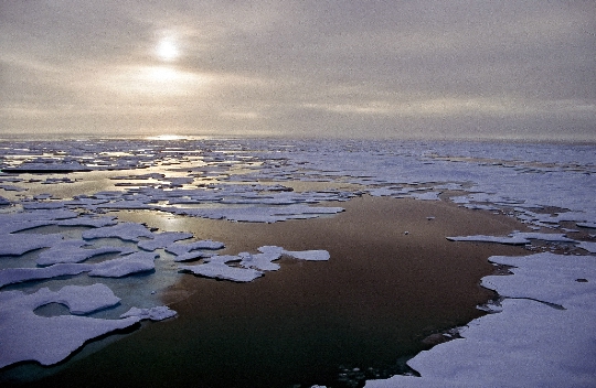
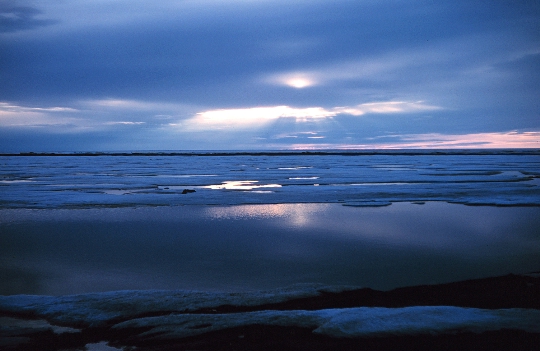
This sea is constantly covered with ice. It is the most severe of all northern seas. Ice appears in the water area in August. Already in September, intensive ice formation was recorded in the sea. In winter, the water is covered with drifting ice and fast ice. The coast of the Beaufort Sea is also covered with ice. By May, the ice thickness reaches 2 m. Perennial ice sometimes forms huge ice islands. On the water, ice drifts counterclockwise, slowly moving towards Wrangel Island. Ice begins to melt in coastal areas in June. In summer, there are fewer ice floes in the Beaufort Sea. But even in the summer months, more than 80% of the water area is covered with drifting ice..
Significance of the Beaufort Sea
The sea in question is poorly studied. The underwater world of the reservoir is not very diverse. Scientists identify about 700 species of molluscs and crustaceans that inhabit this sea. From fish, capelin, flounder, liparis, halibut, herring and cod are found here. Mammals include walruses, seals, beluga whales and seals. Ships rarely sail in the Beaufort Sea, only in September and August. The fishery is poorly developed due to the large ice cover and significant depth of the sea. Rich oil and gas fields were discovered in the water area. Therefore, disputes about the ownership and boundaries of the Beaufort Sea are between Canada and the United States..


