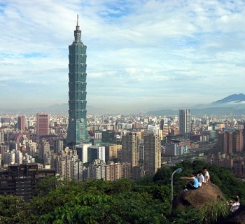
Metro Kaohsiung: diagram, photo, description

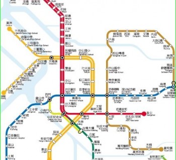
Kaohsiung Metro Map
The metro of the Taiwanese city of Kaohsiung was opened in March 2008. Today it has two routes with 38 stations built for passengers. The Kaohsiung subway is capable of transporting up to 55 million people a year. The length of both subway lines is almost 43 kilometers.
The very first and longest metro line of Kaohsiung metro is marked in red on the maps. It connects Xiaogang in the south of the city with Qiaotous Railway Station in the north. The length of the route exceeds 28 kilometers, and 23 stations are equipped for the entry and exit of passengers..
Kaohsiung Metro Orange Line 2 runs from west to east and connects Xiziwan and Daliao stations. Its length is almost 15 kilometers, and passengers of the "orange" line can use 14 stations.
All station names on maps and information plates in Kaohsiung subway are in two languages: Chinese and English. The train carriages are equipped with an air conditioning system, and the stations are equipped with escalators and lifts for people with disabilities..
Train carriages differ from others in the Chinese subway by the presence of green seats in the carriages. This color is preferred by the Democratic Progressive Party. Its influence on the political life of Taiwan, where the city of Kaohsiung is located, is very strong.
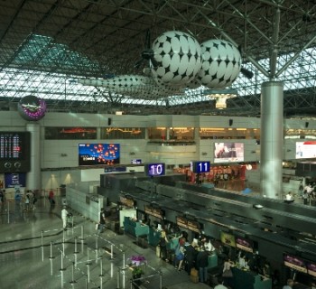
Photos of Kaohsiung subway
-

Kaohsiung Metro Map
-

-
-