Izmir metro: diagram, photo, description
The need for a metro in the Turkish city of Izmir of three million is long overdue. In 1990, the first construction projects were presented, and in 1995, work on the construction of the Izmir metro began. Four years later, the first stage was commissioned, and in August 2000, a new type of urban transport began to operate..
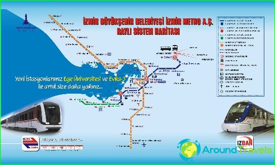
Izmir's only metro line carries up to 180 thousand passengers daily. Its length is almost 17 kilometers, and passengers can use 15 stations for transfers to other types of urban public transport. More than 60 million people descend on the Izmir metro every year. The terminal stations on the route are "Goztepe" and "Evka-3". Izmir metro can take passengers to the Aegean University and the city stadium.
The city authorities are planning to build the second stage of the Izmir metro, the length of which will be 80 kilometers. The route will run from the Aliaga area in the northern part of the metropolis to the south to the Menderes area. Line 2 will connect the refinery and the port, where thousands of city residents work, with residential areas. Passengers of the new line will be able to use 32 stations, and trains will cover the entire route in 86 minutes..
Izmir metro tickets
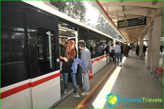
Izmir metro fares are paid at automatic ticket offices at each station. All station names are duplicated in English.
