I began to sort through the photographs from the Crimea, of which quite a few were taken during a week and a half of my stay, and I want to tell you about our one-day trip from Alushta to Chatyr Dag. This one-day hike is very good in terms of its accessibility, both for hikers and for simple vacationers. Although, of course, it will not be possible to do without physical effort, and for those who are accustomed only to small movements between housing and the beach / cafe, it will not work. Such walks are very convenient if you don't have time for a long hike, but you really want to go to the mountains. I remember how exactly one day we climbed on foot Mount Two Brothers in the Caucasus, in Alps near Grenoble in France, as well as directly by car by Lagonaki plateau 2000 meters high in Adygea.
Chatyr Dag Yayla is a mountain plateau (Yayla means mountain pasture) with several peaks. The highest of them is Mount Eklizi-Burun, 1527 meters high. Actually, we went to it.
Mountain trolleybuses are available only in Crimea. I don’t know how expedient it was to make this type of transport, but for me it is the most convenient for this one-day trip. The trolleybus runs at least once every 20 minutes, starts from the bus station in Alushta, almost all numbers go in the right direction and you need one that goes to the Angarsk pass. By the way, in the same way, you can easily get to the Angarsk Pass from Simferopol and Yalta, the travel time will simply be longer. So from Alushta, the trolleybus travels for 30-40 minutes. And despite the fact that specimens older than me move around Alushta itself, we rode on a modern air-conditioned trolleybus with TVs and watched cartoons. The fare is only 4 hryvnia (16 rubles).
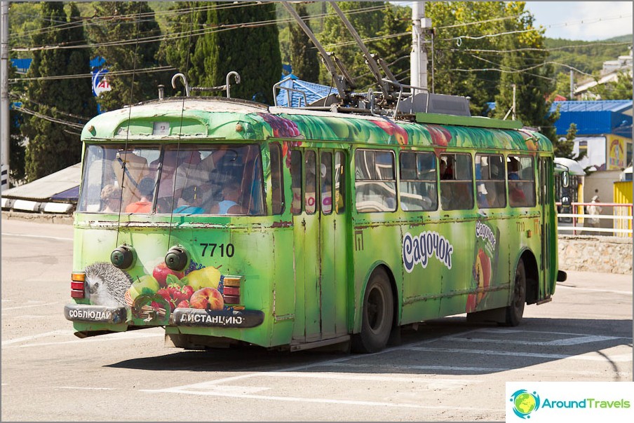
How old is he, God only knows
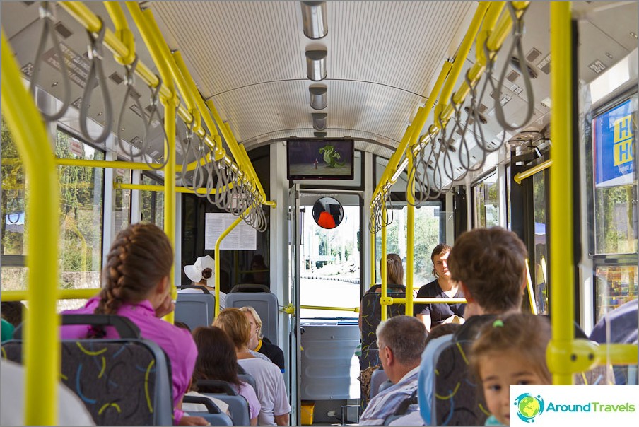
Trolleybus with air conditioning and cartoons
Crossing the road (the main road) and walking a few hundred meters to the camp site on the asphalt, we got to the camp site, and immediately after entering its territory we turned right onto a dirt road going up. There are even signs there. In general, the entire route is marked with labels (red stripe) due to its popularity. In 2009, a religious procession took place on Eklizi-Burun. This I mean that even without a map it is quite difficult to get lost, and as a last resort, you can ask the people you meet for the right way.
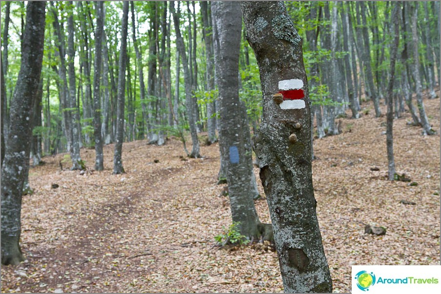
The trail is marked with marks
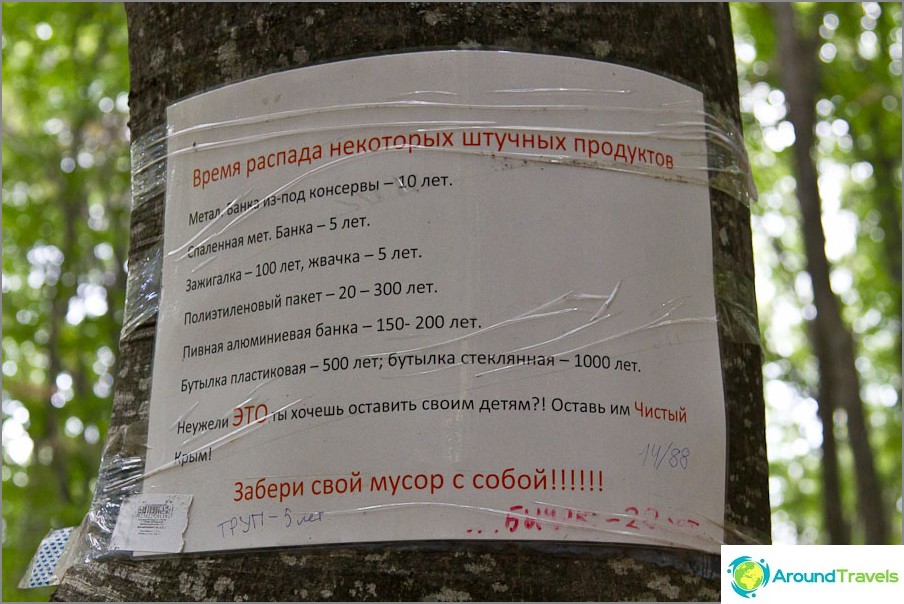
Funny motivational anti-trash poster
You can go in different ways, but the closest one runs through the tourist camp Bukovaya Polyana, which is not marked on the maps exactly as a permitted parking lot, but you can stand with a tent on it, according to the forester's assurances. This part of the journey takes approximately 1 hour. There is a spring here, where you can renew water supplies, and wild pears, which are quite edible in August. The most difficult thing starts just after the Bukovaya glade - after a while the forest ends and the climb is almost at an angle of 45 degrees. That is why, from Bukovaya Polyana it is good to go to the radial (radial hike), leaving heavy backpacks here.
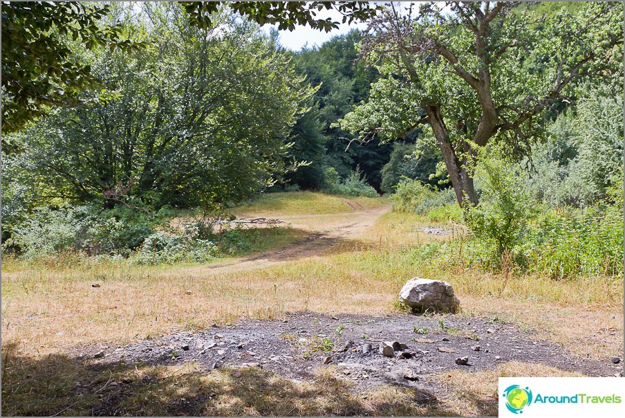
Parking lot Bukovaya Polyana
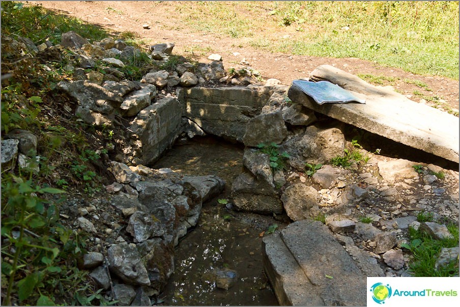
Spring in Bukovaya Polyana
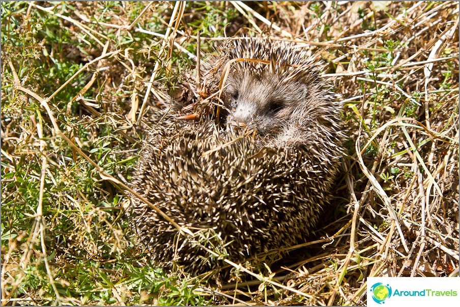
Gnarled little hedgehog
After parking, we climbed up, meeting signs to Angar-Burun (they really do not indicate a specific direction). This is another such peak on Chatyr Dag, which will remain aside, since in fact, the main path still leads to Eklizi-Burun.
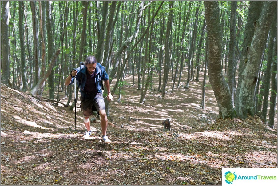
The first small but steep climb after Bukovaya Polyana
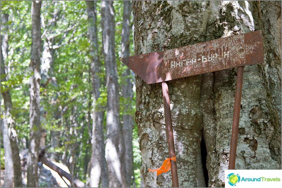
Pointer to Hangar-Burun
During a long and difficult climb, we were rewarded with gorgeous views of Alushta, Demerdzhi Yayla and Babugan Yayla. In principle, those who are especially tired can end their journey somewhere here, since further the mountain views will not change much. But it is worth considering that there will be only one small rise in front at the very end. It is still about an hour to walk along Chatyr Dag Yaila.
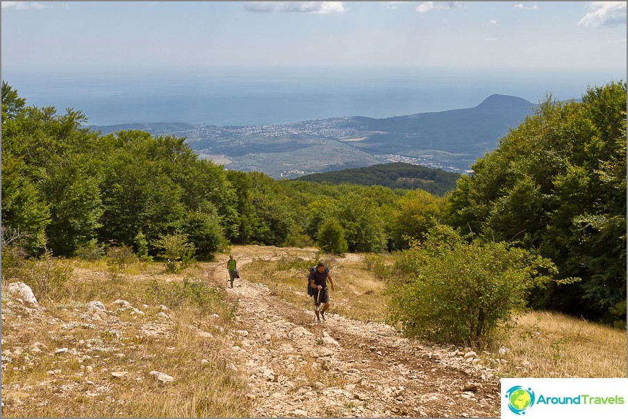
We left the forest and climb to Chatyr Dag
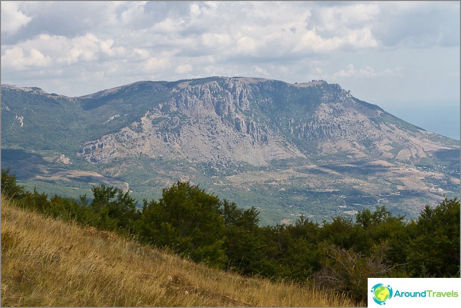
Demerdzhi is already well seen
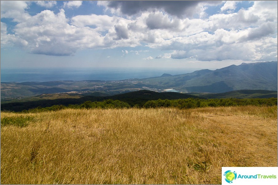
Half way to Chatyr Dag Yaila
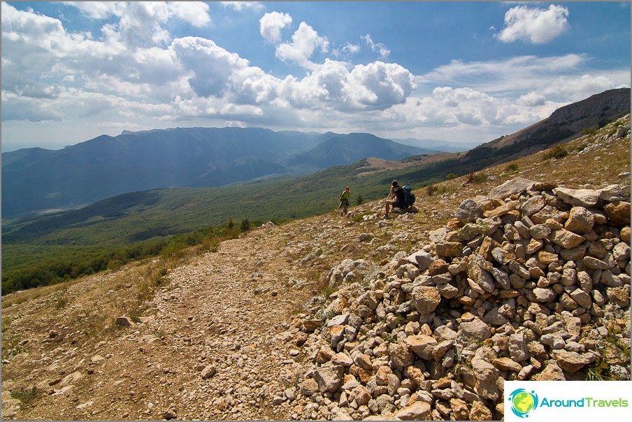
Do not forget to admire the views and absorb them
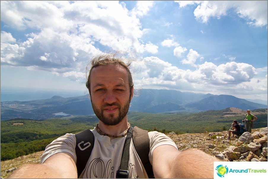
Me and a wide angle lens
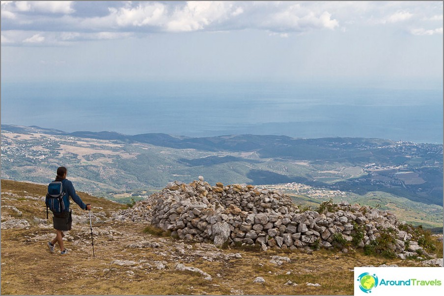
Climbed to Chatyr Dag Yaylu, the main height is recruited
Naturally, we were determined to reach the end, because we walked lightly and we simply could not fail to visit the highest point of Chatyr Dag. Most of all we didn’t want rain, which had been pouring constantly in recent days and Chatyr Dag and Demerdzhi were shrouded in a curtain of clouds, but on this day the sun, although it did not shine constantly, but the weather had mercy.
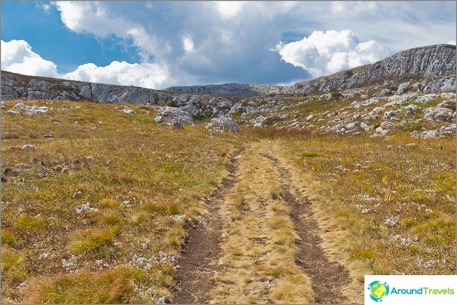
We walk along the plateau, there are no trees and a strong wind
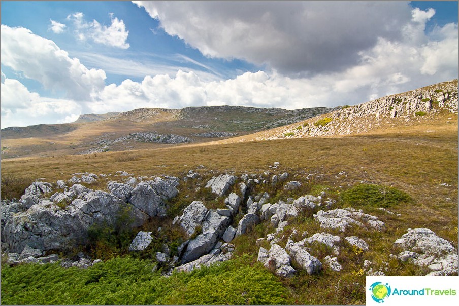
Around rocks and stones
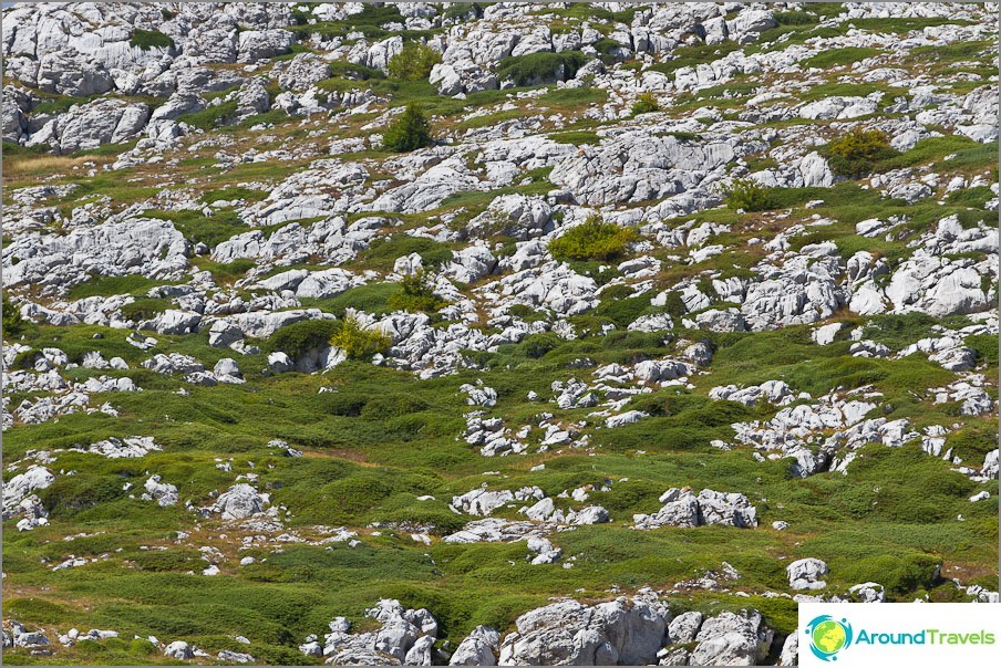
Everything around is covered with juniper
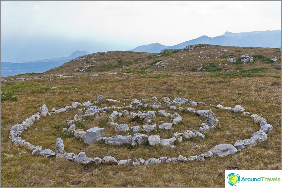
Someone made several circles out of stone
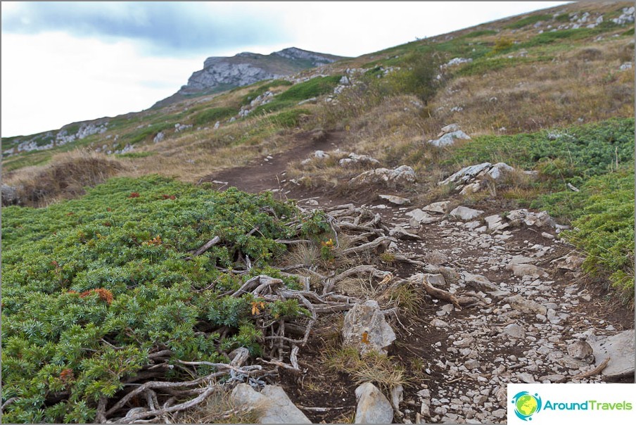
Everything around is covered with juniper
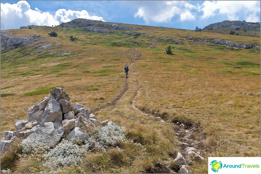
The last climb to Eklizi-Burun remains
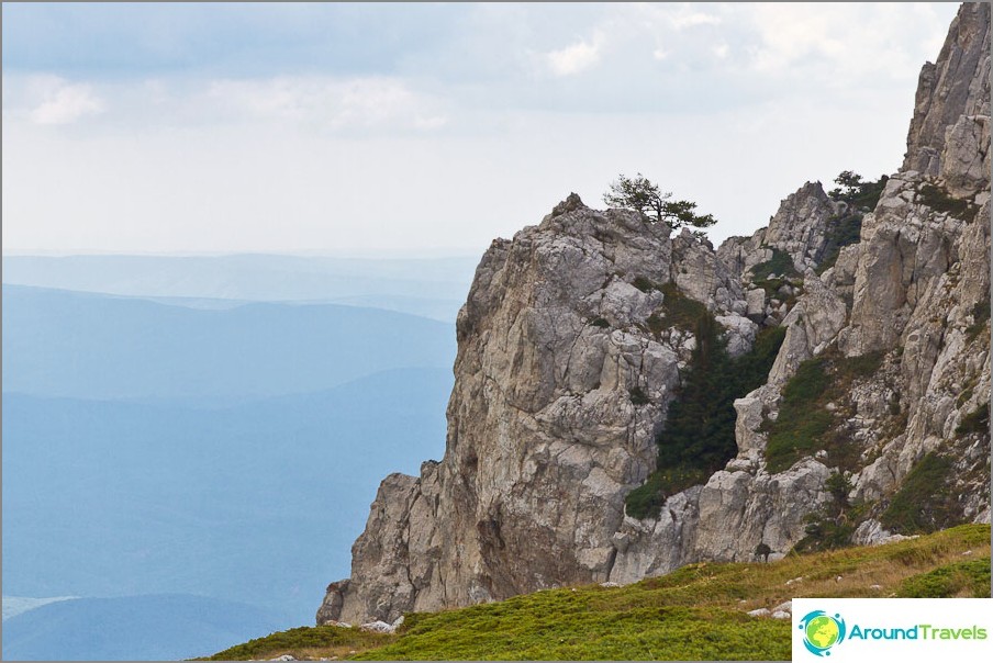
Chatyr Dag Yayla on the way to Eklizi Burun
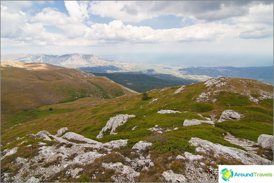
Chatyr Dag Yayla on the way to Eklizi Burun
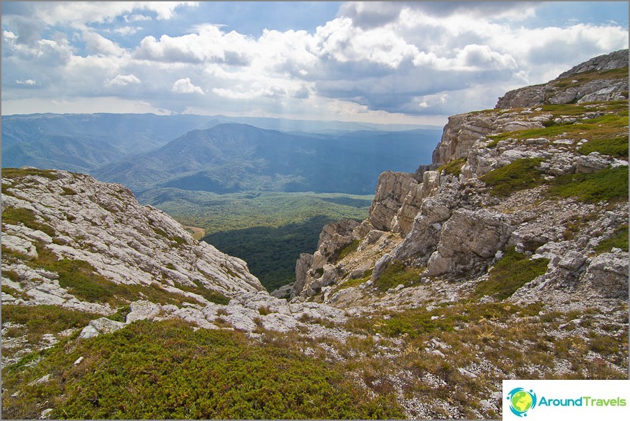
Sheer walls go down, it's even scary to approach
At the top, I met Jehovah's Witnesses, who could not take a picture with a fluttering scarf, because they could not jump synchronously. Such good guys, it was interesting to talk 🙂 After taking a few shots, enjoying the views, having a bite of gingerbread and dried fruits, we went downstairs happy. It was worth it!
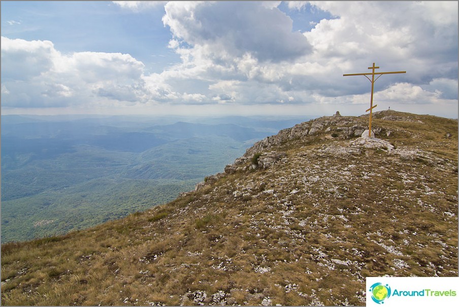
Mount Eklizi-Burun and the cross on it
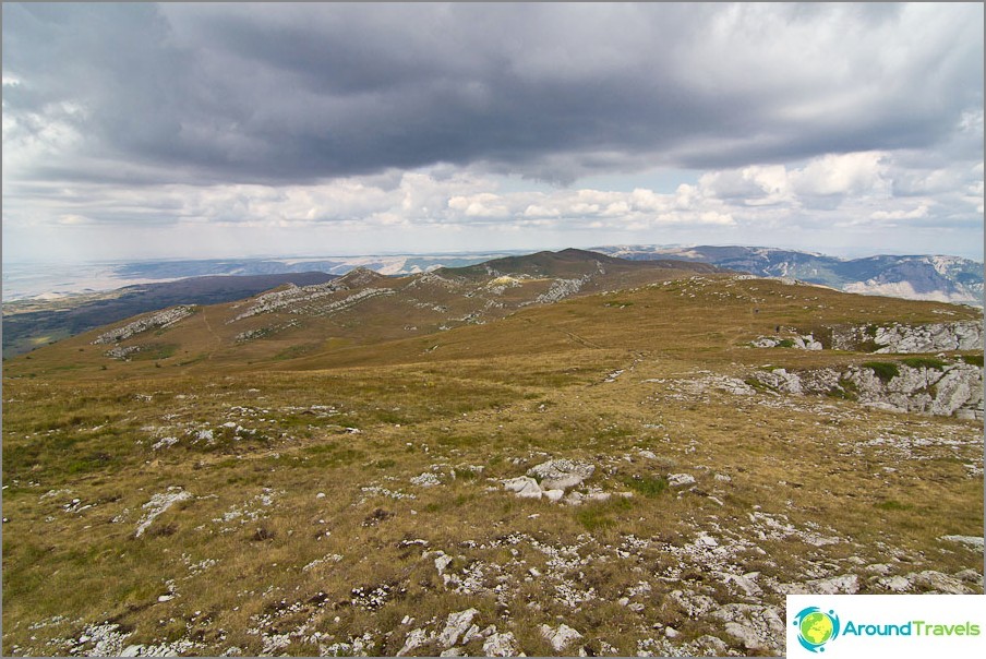
View from Eklizi-Burun to the Chatyr Dag plateau
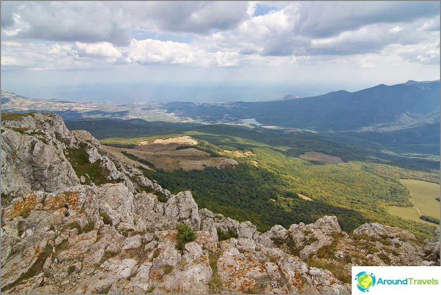
View from Eklizi-Burun towards Alushta
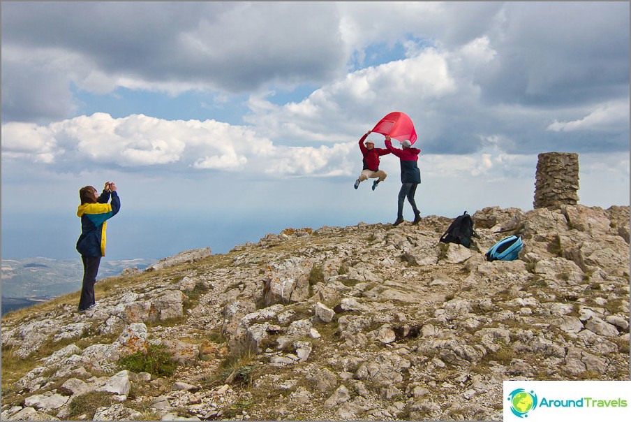
Unsuccessful attempts to jump at the same time
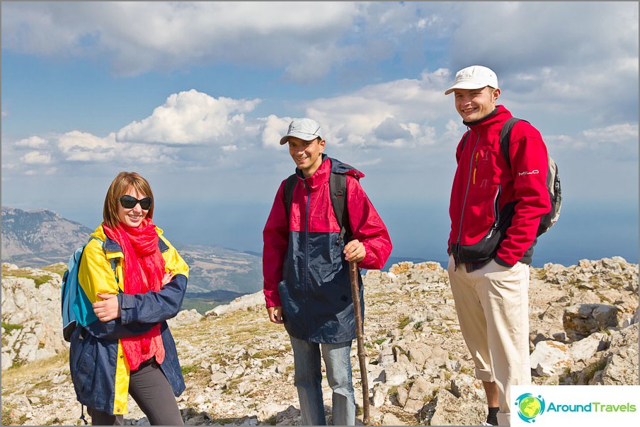
Cheerful guys and part-time Jehovah's Witnesses
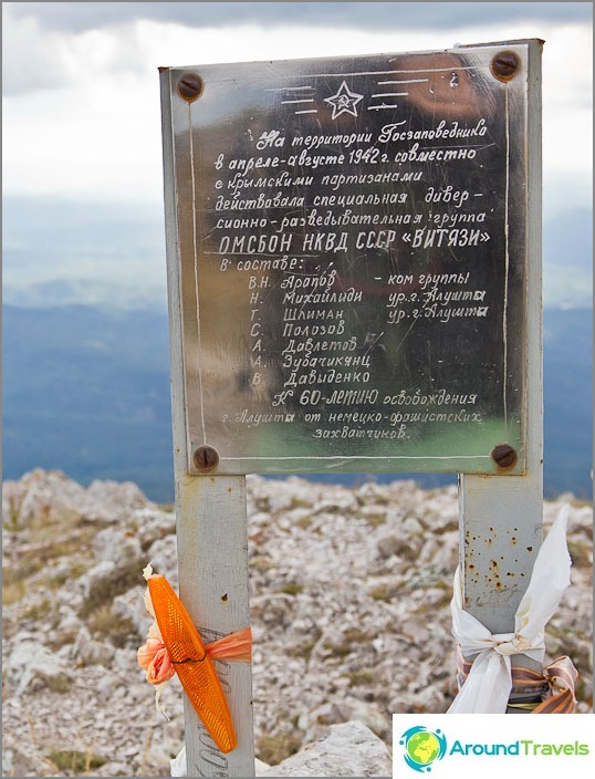
Another sign on the top about the Vityazi group
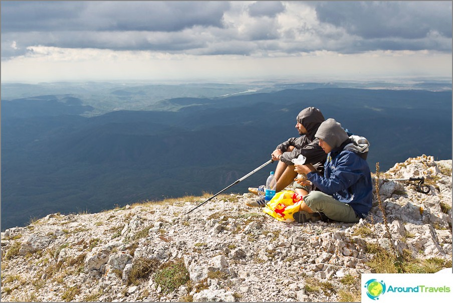
Friends sit hamsters without me while I go and take pictures
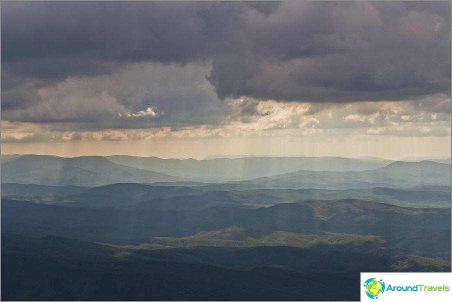
The sun was interspersed with the clouds and gave us such pictures
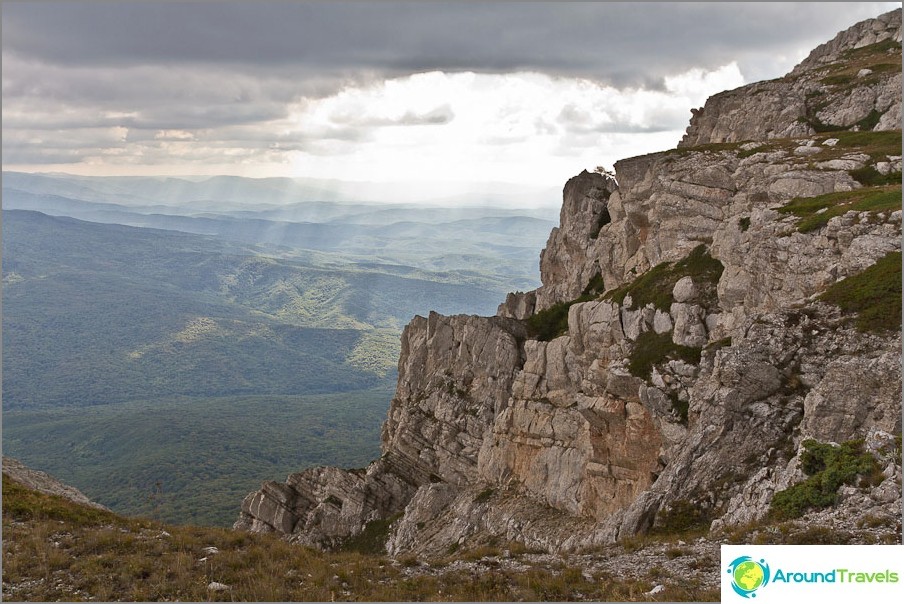
The sun was interspersed with the clouds and gave us such pictures
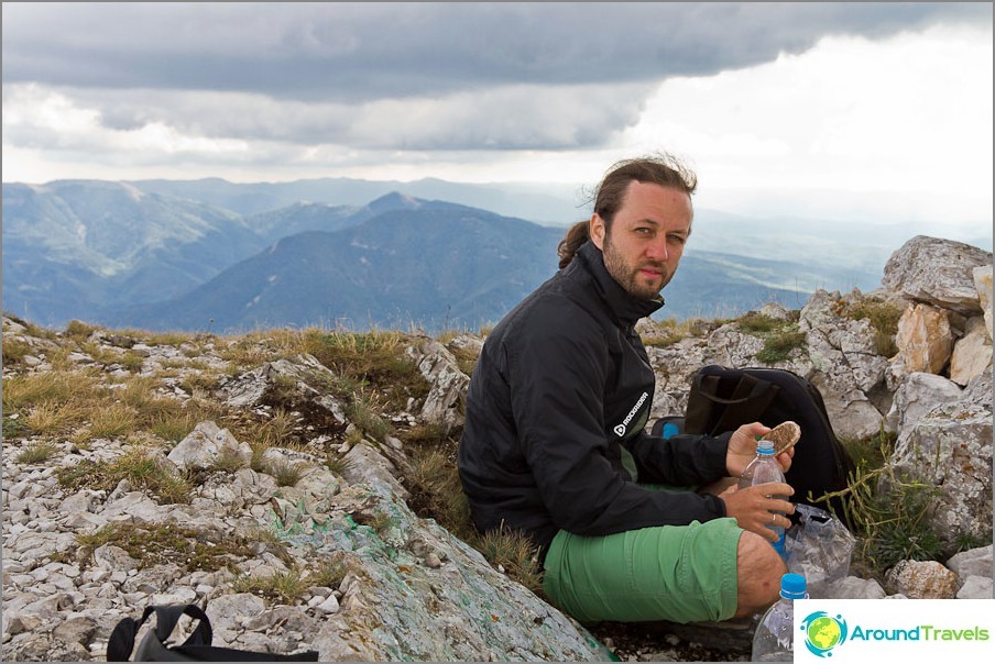
I eat contented gingerbread with water
From here, from a height, the lower plateau Chatyr Dag could be seen, along which literally a week ago we dissected by ATVs. It's funny, that day, we looked the other way around this peak, and wondered how it was up there 🙂
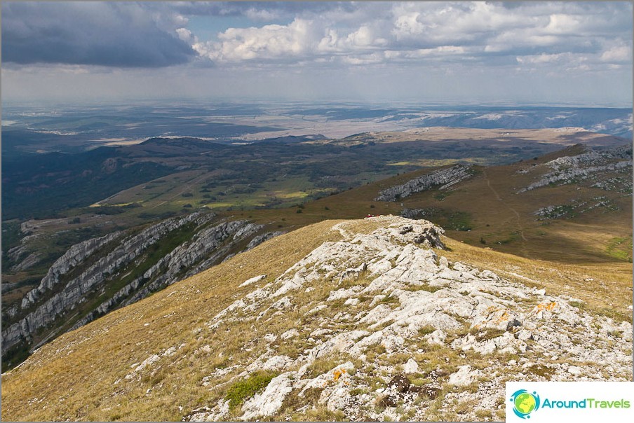
View from Eklizi-Burun to the lower plateau Chatyr Dag
In total, the entire trip took about 6 hours: 4 up + 2 down, this does not take into account the time for the trip by trolleybus, as well as the stay at the top. So it’s quite a good walk for one day for lovers of mountain views, and you don’t even need any equipment..
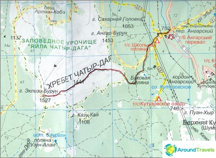
Map of the tourist route to Chatyr Dag - clickable
Good and interesting excursions to the mountains! And don't litter! 🙂 Just in case, here's another link to my detailed post, how to get to the Crimean peninsula and from mainland Russia.

